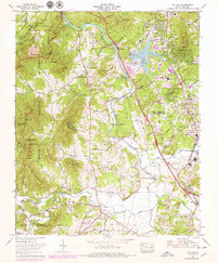
1965 Map of Skyland
USGS Topo · Published 1979About this map
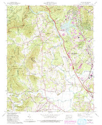
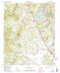
The French Broad River carves a central path through this western North Carolina landscape, serving as a corridor for infrastructure and industry during the late 1970s. The riverside is marked by the Asheville Municipal Airport and the Asheville Steam Plant, complete with its Ash disposal area, signaling the region's mid-century utility development. To the west, the terrain rises into the Pisgah National Forest and the Bent Creek Experimental Forest, where a dense network of gaps and knobs like Soapstone Gap and Hogback Knob define the high ground.
Find a feature on this map
90 named features on this map. Tap any name to fly to it.
Don’t see what you’re looking for? This feature index may not catch every label — zoom into the map to look around manually.
Map Details
Editions of this 1965 Skyland Map
6 editions found
Other maps of this area

1894 · Asheville
USGS Topo · 1:125,000

1900 · Mount Mitchell
USGS Topo · 1:125,000

1901 · Asheville
USGS Topo · 1:125,000

1902 · Mount Mitchell
USGS Topo · 1:125,000

1905 · Pisgah
USGS Topo · 1:125,000

1906 · Pisgah
USGS Topo · 1:125,000

1907 · Saluda
USGS Topo · 1:125,000

1935 · Horse Shoe
USGS Topo · 1:24,000

1935 · Hendersonville
USGS Topo · 1:24,000

1935 · Pisgah Forest
USGS Topo · 1:24,000