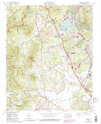
1965 Map of Skyland
USGS Topo · Published 1991About this map
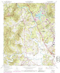
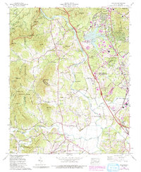
The French Broad River carves through this mountainous landscape, providing a natural corridor for industrial and transit development during the mid-20th century. While the western portion of the map is dominated by the steep peaks of the Pisgah National Forest, including Bryson Mountain and Mills Knob, the eastern valley shows significant post-war expansion. The Asheville Regional Airport and the Asheville Steam Plant stand as modern infrastructure markers alongside the historic Southern rail line. This period of growth is reflected in the numerous residential settlements like Royal Pines and West Haven that appeared as the region transitioned from a rural economy to a more suburbanized hub. Genealogists will find value in the preserved locations of family landmarks such as Baker Cem, Avery Cem, and several country churches like St Barnabas Ch and Bethel Ch, which served these high-altitude communities.
Find a feature on this map
70 named features on this map. Tap any name to fly to it.
Don’t see what you’re looking for? This feature index may not catch every label — zoom into the map to look around manually.
Map Details
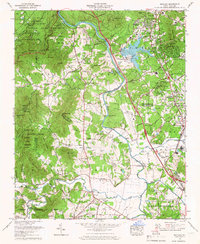
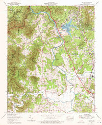
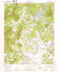
Editions of this 1965 Skyland Map
6 editions found
Other maps of this area

1894 · Asheville
USGS Topo · 1:125,000

1900 · Mount Mitchell
USGS Topo · 1:125,000

1901 · Asheville
USGS Topo · 1:125,000

1902 · Mount Mitchell
USGS Topo · 1:125,000

1905 · Pisgah
USGS Topo · 1:125,000

1906 · Pisgah
USGS Topo · 1:125,000

1907 · Saluda
USGS Topo · 1:125,000

1935 · Horse Shoe
USGS Topo · 1:24,000

1935 · Hendersonville
USGS Topo · 1:24,000

1935 · Pisgah Forest
USGS Topo · 1:24,000