
1969 Map of Skyscraper Peak
USGS Topo · Published 1972About this map
The high desert landscape of West Texas is punctuated by isolated peaks and expansive mesas in this late-1960s survey. Industrial development for energy extraction is evident across the terrain, notably marked by the Jasper Gas Plant and numerous Gas Wells connected by a network of pipelines. These technical installations contrast with established cattle operations like Escondido Ranch and the Trans-Pecos Ranch, illustrating the dual use of the land during this era.
Find a feature on this map
18 named features on this map. Tap any name to fly to it.
Don’t see what you’re looking for? This feature index may not catch every label — zoom into the map to look around manually.
Map Details
Editions of this 1969 Skyscraper Peak Map
This is the sole edition of this map. No revisions or reprints were ever made.
Other maps of this area

1928 · Comanche Spring
USGS Topo · 1:125,000

1929 · Independence Draw Quadrangle
USGS Topo · 1:125,000

1954 · Fort Stockton
USGS Topo · 1:250,000

1958 · Fort Stockton
USGS Topo · 1:250,000

1969 · Bootleg Canyon
USGS Topo · 1:24,000

1969 · Hackberry Draw NW
USGS Topo · 1:24,000

1969 · Hackberry Draw NE
USGS Topo · 1:24,000

1969 · Bakersfield
USGS Topo · 1:24,000
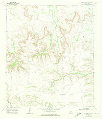
1969 · Sherbino Mesa
USGS Topo · 1:24,000
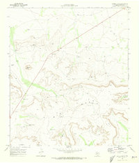
1970 · Saddle Butte
USGS Topo · 1:24,000