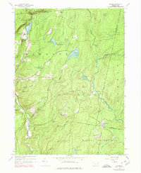
1943 Map of Skytop
USGS Topo · Published 1974About this map
Skytop and the surrounding plateau reflect a mid-century landscape of remote retreats and conservation. This survey, updated from 1943 data with 1970s revisions, highlights a geography defined by upland swamps and recreational camps. The terrain is marked by distinctive water bodies like Mountain Lake and Browns Lake, while the social fabric of the era is visible in sites such as the Hiawatha Club and the McComas Chapel.
Find a feature on this map
50 named features on this map. Tap any name to fly to it.
Don’t see what you’re looking for? This feature index may not catch every label — zoom into the map to look around manually.
Map Details
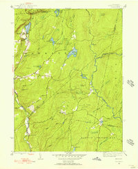
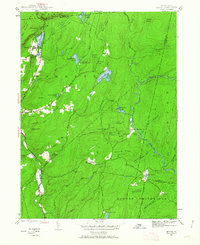
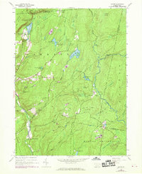
Editions of this 1943 Skytop Map
4 editions found
Other maps of this area

1919 · Pocono
USGS Topo · 1:62,500

1921 · Pocono
USGS Topo · 1:62,500

1923 · Pocono
USGS Topo · 1:62,500

1924 · Bushkill
USGS Topo · 1:48,000

1928 · Ariel
USGS Topo · 1:62,500

1932 · Ariel
USGS Topo · 1:62,500

1935 · Hawley
USGS Topo · 1:62,500

1938 · Hawley
USGS Topo · 1:62,500

1943 · Bushkill
USGS Topo · 1:62,500

1943 · Pocono
USGS Topo · 1:62,500
Featured Places
- Greene Township, PA
- Porter Township, PA
- Paradise Township, PA
- Middle Smithfield Township, PA
- Cresco, Barrett Township