
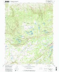
1955 Map of Skyway
USGS Topo · Published 1957About this map
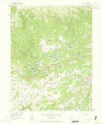
The high plateau of Grand Mesa National Forest dominates this mid-century landscape, revealing a complex network of high-altitude water management and recreational development. A dense cluster of reservoirs and lakes, including Mesa Lakes, Jumbo Reservoir, and Sunset Lake, highlights the importance of the area for both irrigation and leisure. The presence of the Mesa Lakes Ranger Station and various campgrounds like Glacier Spring Campground indicates a well-established forestry and tourism infrastructure by the 1950s.
Find a feature on this map
75 named features on this map. Tap any name to fly to it.
Don’t see what you’re looking for? This feature index may not catch every label — zoom into the map to look around manually.
Map Details
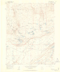
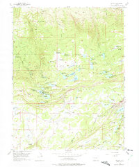
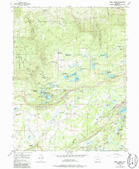
Editions of this 1955 Skyway Map
6 editions found
Other maps of this area

1955 · Collbran
USGS Topo · 1:24,000

1955 · Mesa
USGS Topo · 1:24,000

1955 · Grand Mesa
USGS Topo · 1:24,000

1955 · Molina
USGS Topo · 1:24,000

1956 · Montrose
USGS Topo · 1:250,000

1956 · Moab
USGS Topo · 1:250,000

1956 · Grand Junction
USGS Topo · 1:250,000

1957 · Leadville
USGS Topo · 1:250,000

1959 · Grand Junction
USGS Topo · 1:250,000

1959 · Moab
USGS Topo · 1:250,000