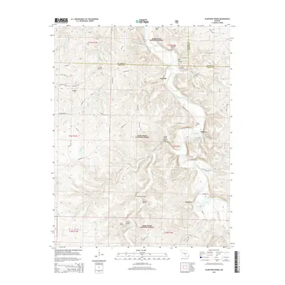
2015 Map of Slabtown Spring
USGS Topo · Published 2015About this map
Big Piney River carves a deep path through the Mark Twain National Forest in this 2015 study of the borderlands between Texas Co, Phelps Co, and Pulaski Co. The landscape is defined by its complex hydrography, featuring numerous springs and hollows such as Slabtown Spring, Prewett Spring, and Anderson Hollow. Small settlements like Hazleton and Slabtown are connected by a network of forest roads and trails, including High Logway Rd and Slabtown Rd. Geologic interest is found at the Paddy Creek Natural Arch, while local genealogical history is anchored by the Omalley Cemetery and Merrill Cemetery. The presence of Slabtown Lake and Roby Lake further illustrates the significance of water management and recreation within these forested highlands.
Find a feature on this map
68 named features on this map. Tap any name to fly to it.
Don’t see what you’re looking for? This feature index may not catch every label — zoom into the map to look around manually.
Map Details
Editions of this 2015 Slabtown Spring Map
This is the sole edition of this map. No revisions or reprints were ever made.
Other maps of this area

1937 · Edgar Springs
USGS Topo · 1:48,000

1941 · Big Piney
USGS Topo · 1:62,500

1941 · Bado
USGS Topo · 1:62,500

1943 · Big Piney
USGS Topo · 1:62,500

1943 · Bado
USGS Topo · 1:62,500

1945 · Edgar Springs
USGS Topo · 1:62,500

1949 · Rolla
USGS Topo · 1:250,000

1951 · Prescott
USGS Topo · 1:24,000

1951 · Raymondville
USGS Topo · 1:62,500

1953 · Rolla
USGS Topo · 1:250,000