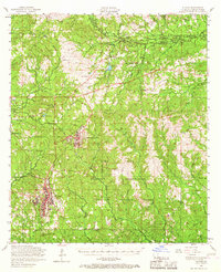
1954 Map of Slagle
USGS Topo · Published 1968About this map
The Fort Polk Military Reservation dominates the landscape of Vernon Parish in the mid-1950s, highlighting the massive military footprint established in the region. Within the Kisatchie National Forest, the installation includes significant infrastructure such as an airfield and the residential clusters of North Fort Polk. Despite the military presence, traditional rural life remains visible through numerous country churches like Union Grove Church and Walnut Hill Church. The terrain is defined by complex water systems, including the Calcasieu River and Castor Creek, which have historically shaped local settlement patterns. A dismantled railroad winding through the northern portion of the map indicates the transition away from early timber-hauling rail lines. For genealogists, the map is a vital resource, preserving the locations of family-associated burial grounds such as Smart Cem and Glass Window Cem.
Find a feature on this map
51 named features on this map. Tap any name to fly to it.
Don’t see what you’re looking for? This feature index may not catch every label — zoom into the map to look around manually.
Map Details
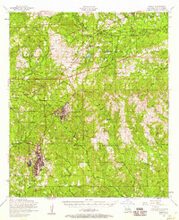
Editions of this 1954 Slagle Map
2 editions found
Other maps of this area

1937 · Chopin SW
USGS Topo · 1:31,680

1941 · Leesville
USGS Topo · 1:62,500

1941 · Slagle
USGS Topo · 1:62,500

1942 · Florien
USGS Topo · 1:62,500

1942 · Kisatchie
USGS Topo · 1:62,500

1943 · Leesville
USGS Topo · 1:62,500

1943 · Leander
USGS Topo · 1:62,500

1943 · Kisatchie
USGS Topo · 1:62,500

1944 · Chopin
USGS Topo · 1:62,500

1944 · Florien
USGS Topo · 1:62,500