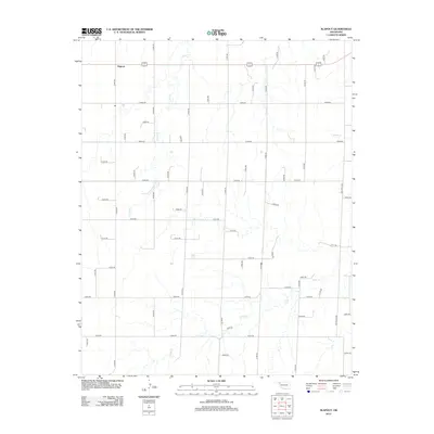
2012 Map of Slapout
USGS Topo · Published 2012About this map
Slapout remains the primary focal point of this high-plains landscape, situated along the northern corridor where state highways intersect. The terrain is defined by the dendritic drainage patterns of Camp Cr, which meanders south through the western half of the quadrangle. In the southeast, Clear Cr and Spring Cr carve subtle valleys into the predominantly flat agricultural grid. A systematic network of section-line roads, including n1650 RD and e0280 RD, organizes the territory into large parcels typical of the Oklahoma Panhandle's ranching and farming economy. This 2012 survey provides a clear view of the modern land divisions and rural infrastructure that have sustained the community of Slapout for generations.
Find a feature on this map
48 named features on this map. Tap any name to fly to it.
Don’t see what you’re looking for? This feature index may not catch every label — zoom into the map to look around manually.
Map Details
Editions of this 2012 Slapout Map
This is the sole edition of this map. No revisions or reprints were ever made.
Other maps of this area

1954 · Perryton
USGS Topo · 1:250,000

1955 · Woodward
USGS Topo · 1:250,000

1958 · Perryton
USGS Topo · 1:250,000

1958 · Woodward
USGS Topo · 1:250,000

1969 · Shattuck NW
USGS Topo · 1:24,000

1970 · Laverne SW
USGS Topo · 1:24,000

1971 · Logan
USGS Topo · 1:24,000

1971 · Logan NW
USGS Topo · 1:24,000

1971 · Logan NE
USGS Topo · 1:24,000

1971 · Slapout
USGS Topo · 1:24,000