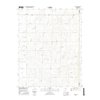
2016 Map of Slapout
USGS Topo · Published 2016About this map
The settlement of Slapout serves as the primary landmark in this section of the High Plains, situated at the junction of US-270 and US-412. The landscape is defined by an extensive network of drainage channels including Camp Cr, Spring Cr, and Clear Cr, which carve through the terrain. These natural features are interspersed with numerous geographic hollows, such as Hollow E0300 and Hollow E0340, which follow the organized grid of section roads like NS-162 and Ew-30.
Find a feature on this map
37 named features on this map. Tap any name to fly to it.
Don’t see what you’re looking for? This feature index may not catch every label — zoom into the map to look around manually.
Map Details
Editions of this 2016 Slapout Map
This is the sole edition of this map. No revisions or reprints were ever made.
Other maps of this area

1954 · Perryton
USGS Topo · 1:250,000

1955 · Woodward
USGS Topo · 1:250,000

1958 · Perryton
USGS Topo · 1:250,000

1958 · Woodward
USGS Topo · 1:250,000

1969 · Shattuck NW
USGS Topo · 1:24,000

1970 · Laverne SW
USGS Topo · 1:24,000

1971 · Logan
USGS Topo · 1:24,000

1971 · Logan NW
USGS Topo · 1:24,000

1971 · Logan NE
USGS Topo · 1:24,000

1971 · Slapout
USGS Topo · 1:24,000