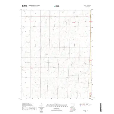
2018 Map of Slapout
USGS Topo · Published 2018About this map
Slapout serves as the primary landmark in this corner of the Oklahoma Panhandle, situated along the shared corridor of US Route 270 and US Route 412. The landscape is defined by the dendritic drainage patterns of the High Plains, where Clear Cr, Spring Cr, and Camp Cr carve through the terrain. A human-made landscape feature, the 067006 Reservoir, provides a localized water source in an otherwise arid region. To the southeast, the Poplar Grove Cem offers a point of genealogical interest for those tracing the early families of Beaver County. This survey illustrates the intersections of three counties, with the eastern and southern margins marking the lines of Harper and Ellis Counties, showing the ranching and agricultural grid that has organized this territory since the early twentieth century.
Find a feature on this map
17 named features on this map. Tap any name to fly to it.
Don’t see what you’re looking for? This feature index may not catch every label — zoom into the map to look around manually.
Map Details
Editions of this 2018 Slapout Map
This is the sole edition of this map. No revisions or reprints were ever made.
Other maps of this area

1954 · Perryton
USGS Topo · 1:250,000

1955 · Woodward
USGS Topo · 1:250,000

1958 · Perryton
USGS Topo · 1:250,000

1958 · Woodward
USGS Topo · 1:250,000

1969 · Shattuck NW
USGS Topo · 1:24,000

1970 · Laverne SW
USGS Topo · 1:24,000

1971 · Logan
USGS Topo · 1:24,000

1971 · Logan NW
USGS Topo · 1:24,000

1971 · Logan NE
USGS Topo · 1:24,000

1971 · Slapout
USGS Topo · 1:24,000