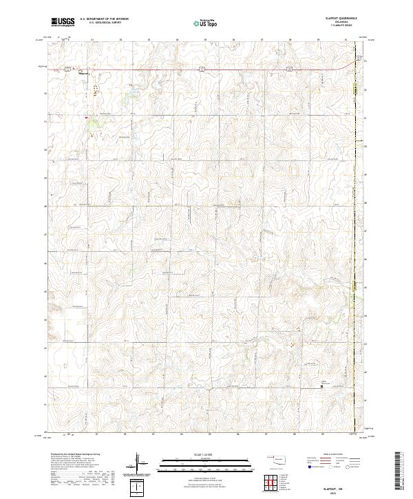
2022 Map of Slapout
USGS Topo · Published 2022About this map
Slapout anchors this portion of the Oklahoma Panhandle, situated along a rural road network that follows the section lines of the Public Land Survey System. The landscape is defined by the drainage patterns of Camp Cr and Clear Cr, which carve through the high plains at the intersection of Beaver, Ellis, and Harper counties. This specific survey highlights the localized water management and communal landmarks of the region, such as the 007006 Reservoir and the Poplar Grove Cem. The grid of "Hollow" and "EW" roads, including Hollow E0330 and Ew-33, reflects the late 20th-century development of the rural infrastructure needed to navigate these vast agricultural and ranching townships.
Find a feature on this map
37 named features on this map. Tap any name to fly to it.
Don’t see what you’re looking for? This feature index may not catch every label — zoom into the map to look around manually.
Map Details
Editions of this 2022 Slapout Map
This is the sole edition of this map. No revisions or reprints were ever made.
Other maps of this area

1954 · Perryton
USGS Topo · 1:250,000

1955 · Woodward
USGS Topo · 1:250,000

1958 · Perryton
USGS Topo · 1:250,000

1958 · Woodward
USGS Topo · 1:250,000

1969 · Shattuck NW
USGS Topo · 1:24,000

1970 · Laverne SW
USGS Topo · 1:24,000

1971 · Logan
USGS Topo · 1:24,000

1971 · Logan NW
USGS Topo · 1:24,000

1971 · Logan NE
USGS Topo · 1:24,000

1971 · Slapout
USGS Topo · 1:24,000