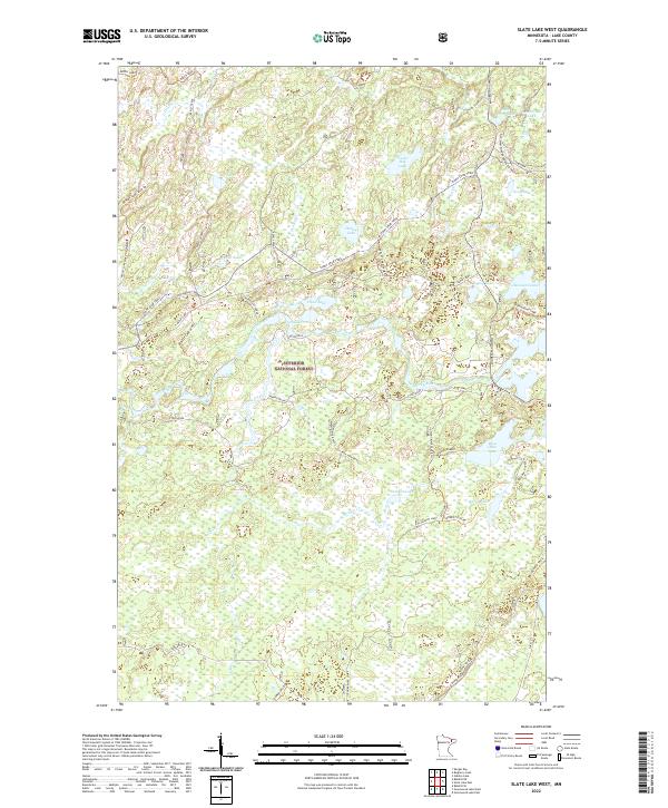
2022 Map of Slate Lake West
USGS Topo · Published 2022About this map
Superior National Forest dominates this northern Minnesota landscape, where the Stony River and Dunka River wind through a dense network of wetlands and glacial lakes. This 2022 survey captures the modern character of the Iron Range backcountry, defined by an intricate system of forest roads and trails rather than traditional towns. The geography is shaped by the transition from open water to bog, seen in the numerous small basins like Jackpot Lake, West Chub Lake, and Leatherleaf Lake. Local land use is evidenced by the names of individual landholders or sites such as Mark Larson and Reidman, Douglas, alongside primitive transportation routes including the Old Man Winter Dogsled Trail. This map is particularly useful for understanding the current hydraulic connectivity between Birch Lake and the interior stream systems.
Find a feature on this map
53 named features on this map. Tap any name to fly to it.
Don’t see what you’re looking for? This feature index may not catch every label — zoom into the map to look around manually.
Map Details
Editions of this 2022 Slate Lake West Map
This is the sole edition of this map. No revisions or reprints were ever made.
Other maps of this area

1933 · Ely
USGS Topo · 1:62,500

1939 · Ely
USGS Topo · 1:62,500

1952 · Babbitt SE
USGS Topo · 1:24,000

1952 · Babbitt NE
USGS Topo · 1:24,000

1954 · Greenwood Lake
USGS Topo · 1:62,500

1954 · Two Harbors
USGS Topo · 1:250,000

1957 · Two Harbors
USGS Topo · 1:250,000

1957 · Gabbro Lake
USGS Topo · 1:62,500

1958 · Two Harbors
USGS Topo · 1:250,000

1964 · Two Harbors
USGS Topo · 1:250,000