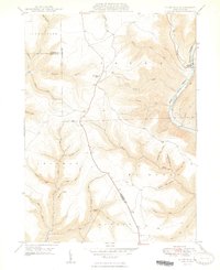
1948 Map of Slate Run
USGS Topo · Published 1948About this map
Pine Creek carves a deep valley through this segment of the Pennsylvania Wilds, centered on the small village of Slate Run. The landscape is defined by its steep, narrow drainages and high plateaus, where the Pump Station Fire Tower stands as a prominent navigational landmark. Transportation in the late 1940s follows the water, with the New York Central railroad hugging the eastern bank of the creek, passing through the dramatic Gorge section.
Find a feature on this map
46 named features on this map. Tap any name to fly to it.
Don’t see what you’re looking for? This feature index may not catch every label — zoom into the map to look around manually.
Map Details
Editions of this 1948 Slate Run Map
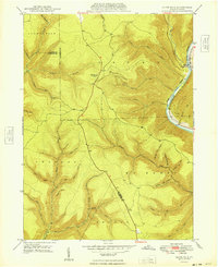
2 editions found
Other maps of this area

1937 · Waterville
USGS Topo · 1:48,000

1943 · Hyner
USGS Topo · 1:62,500

1943 · Waterville
USGS Topo · 1:62,500

1946 · Young Womans Creek
USGS Topo · 1:24,000

1946 · Antrim
USGS Topo · 1:62,500

1946 · Renovo East
USGS Topo · 1:62,500

1946 · Cedar Run
USGS Topo · 1:24,000

1946 · Slate Run
USGS Topo · 1:24,000

1946 · Renovo East
USGS Topo · 1:24,000

1946 · Glen Union
USGS Topo · 1:24,000
Featured Places
- Brown Township, PA
- McHenry Township, PA
- Slate Run, Brown Township
- Grugan Township, PA
- Stewardson Township, PA