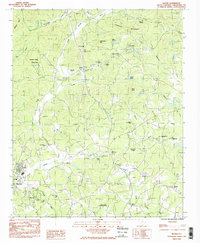
1983 Map of Slater
USGS Topo · Published 1983About this map
Slater and Marietta anchor the southwestern corner of this South Carolina landscape, where industrial activity and community life intersect along the North Saluda River. The area is characterized by a high density of rural religious and social centers, from Truth Tabernacle in the north to Mount Ararat Ch near the southern border. Notable recreational and institutional sites are prominent, including the Riverside Speedway, a Dirt Race track, and the extensive Travelers Rest Correctional Center.
Find a feature on this map
55 named features on this map. Tap any name to fly to it.
Don’t see what you’re looking for? This feature index may not catch every label — zoom into the map to look around manually.
Map Details
Editions of this 1983 Slater Map
2 editions found
Other maps of this area

1888 · Pickens
USGS Topo · 1:125,000

1894 · Pickens
USGS Topo · 1:125,000

1905 · Pisgah
USGS Topo · 1:125,000

1906 · Pisgah
USGS Topo · 1:125,000

1907 · Saluda
USGS Topo · 1:125,000

1935 · Standingstone Mtn.
USGS Topo · 1:24,000

1935 · Greenville
USGS Topo · 1:48,000

1935 · Zirconia
USGS Topo · 1:24,000

1938 · Greenville
USGS Topo · 1:62,500
1946 · Standingstone Mtn.
USGS Topo · 1:24,000