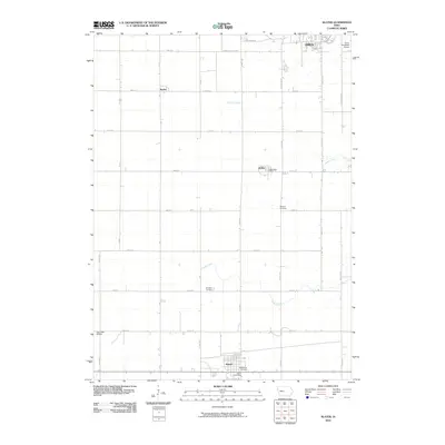
2010 Map of Slater
USGS Topo · Published 2010About this map
Slater and Kelley anchor the southern reach of this Story County landscape, where the agricultural grid is defined by a dense network of numbered avenues and streets. The geography is shaped by the subtle drainage of Walnut Creek and Ballard Creek, which wind across the prairie between established small-town centers. Evidence of early settlement and community genealogy is found at Bethany Cemetery, Sheldahl Cemetery, and Bethlehem Cemetery, each serving as a landmark for the surrounding rural sections.
Find a feature on this map
35 named features on this map. Tap any name to fly to it.
Don’t see what you’re looking for? This feature index may not catch every label — zoom into the map to look around manually.
Map Details
Editions of this 2010 Slater Map
This is the sole edition of this map. No revisions or reprints were ever made.
Other maps of this area

1911 · Madrid
USGS Topo · 1:62,500

1911 · Slater
USGS Topo · 1:62,500

1912 · Ames
USGS Topo · 1:62,500

1913 · Slater
USGS Topo · 1:62,500

1914 · Madrid
USGS Topo · 1:62,500

1914 · Ames
USGS Topo · 1:62,500

1916 · Boone
USGS Topo · 1:62,500

1954 · Waterloo
USGS Topo · 1:250,000

1954 · Des Moines
USGS Topo · 1:250,000

1955 · Waterloo
USGS Topo · 1:250,000