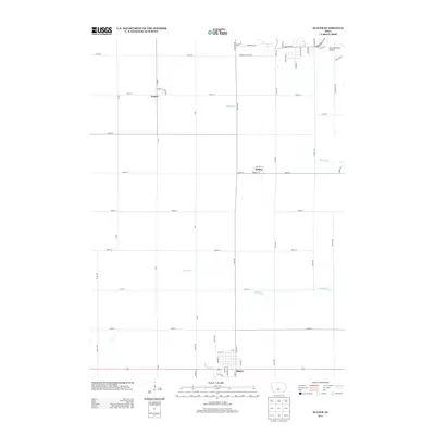
2013 Map of Slater
USGS Topo · Published 2013About this map
Slater anchors the southern portion of this Story County landscape, where the town's residential grid meets the primary corridor of 210. This central Iowa region is defined by a deep-seated agricultural grid, punctuated by small rural settlements such as Kelley and Napier. The terrain is drained by several small watercourses, including Walnut Cr, Ballard Cr, and Fourmile Cr, which meander through the prairie soils between the strictly aligned roads. In the northeast, the presence of the Ames Municipal Airport along Airport Rd and S Loop Dr signals the expansion of infrastructure near the county's major population center. Notable local thoroughfares like Zumwalt Station Rd and Co Hwy E63 provide a network connecting these tight-knit communities, reflecting a landscape that has maintained its rural character while supporting modern transportation needs.
Find a feature on this map
56 named features on this map. Tap any name to fly to it.
Don’t see what you’re looking for? This feature index may not catch every label — zoom into the map to look around manually.
Map Details
Editions of this 2013 Slater Map
This is the sole edition of this map. No revisions or reprints were ever made.
Other maps of this area

1911 · Madrid
USGS Topo · 1:62,500

1911 · Slater
USGS Topo · 1:62,500

1912 · Ames
USGS Topo · 1:62,500

1913 · Slater
USGS Topo · 1:62,500

1914 · Madrid
USGS Topo · 1:62,500

1914 · Ames
USGS Topo · 1:62,500

1916 · Boone
USGS Topo · 1:62,500

1954 · Waterloo
USGS Topo · 1:250,000

1954 · Des Moines
USGS Topo · 1:250,000

1955 · Waterloo
USGS Topo · 1:250,000