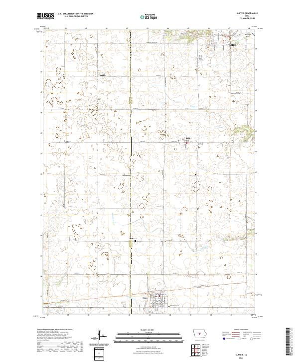
2022 Map of Slater
USGS Topo · Published 2022About this map
Slater anchors the southern portion of this landscape at the intersection of the Boone and Story County line, characterized by its regular grid of streets including Main St and 8th Ave. Northward, the small settlements of Kelley and Napier represent the agricultural hubs of central Iowa. The drainage patterns of the region are defined by Ballard Creek, Walnut Creek, and Fourmile Creek, which meander through the township lines of t83n r25w and t82n r24w.
Find a feature on this map
64 named features on this map. Tap any name to fly to it.
Don’t see what you’re looking for? This feature index may not catch every label — zoom into the map to look around manually.
Map Details
Editions of this 2022 Slater Map
This is the sole edition of this map. No revisions or reprints were ever made.
Other maps of this area

1911 · Madrid
USGS Topo · 1:62,500

1911 · Slater
USGS Topo · 1:62,500

1912 · Ames
USGS Topo · 1:62,500

1913 · Slater
USGS Topo · 1:62,500

1914 · Madrid
USGS Topo · 1:62,500

1914 · Ames
USGS Topo · 1:62,500

1916 · Boone
USGS Topo · 1:62,500

1954 · Waterloo
USGS Topo · 1:250,000

1954 · Des Moines
USGS Topo · 1:250,000

1955 · Waterloo
USGS Topo · 1:250,000