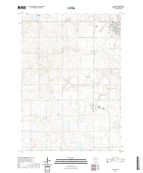
2022 Map of Slayton
USGS Topo · Published 2022About this map
Slayton serves as the regional hub in this part of Murray County, where the Murray County Courthouse anchors the local street grid. The landscape is defined by the Coteau des Prairies, a prominent upland plateau that shapes the hydrology of the area, directing waters toward Summit Lake in the north and Corabelle Lake in the south. The agricultural character of the region is evident in the regular section lines and the small, scattered settlements of Hadley and Iona, which developed as vital local centers for the surrounding farming community.
Find a feature on this map
40 named features on this map. Tap any name to fly to it.
Don’t see what you’re looking for? This feature index may not catch every label — zoom into the map to look around manually.
Map Details
Editions of this 2022 Slayton Map
This is the sole edition of this map. No revisions or reprints were ever made.
Other maps of this area

1953 · New Ulm
USGS Topo · 1:250,000

1954 · Fairmont
USGS Topo · 1:250,000

1957 · New Ulm
USGS Topo · 1:250,000

1958 · New Ulm
USGS Topo · 1:250,000

1958 · Fairmont
USGS Topo · 1:250,000

1967 · New Ulm
USGS Topo · 1:250,000

1967 · Slayton SW
USGS Topo · 1:24,000

1967 · Slayton
USGS Topo · 1:24,000
1967 · Balaton SW
USGS Topo · 1:24,000

1967 · Wilmont
USGS Topo · 1:24,000