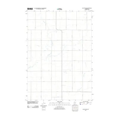
2010 Map of Slayton SW
USGS Topo · Published 2010About this map
Champepadan Creek and Kanaranzi Creek carve winding paths through this agricultural landscape in Nobles County, defining the drainage patterns of the prairie. The 2010 survey reflects a highly organized township-and-range grid, where section lines are marked by a network of gravel and paved roads such as County Hwy-71 and 110th St. This area is characterized by large-scale farming operations, with access provided by named thoroughfares like Chaney Ave, Dillman Ave, and Durfee Ave. Near the southern edge, the appearance of Grain St suggests the presence of local agricultural infrastructure, while family-named roads like Bullick Ave and Cory Ave offer points of interest for genealogists tracing local land ownership in the region.
Find a feature on this map
21 named features on this map. Tap any name to fly to it.
Don’t see what you’re looking for? This feature index may not catch every label — zoom into the map to look around manually.
Map Details
Editions of this 2010 Slayton SW Map
This is the sole edition of this map. No revisions or reprints were ever made.
Other maps of this area

1954 · Fairmont
USGS Topo · 1:250,000

1955 · Sioux Falls
USGS Topo · 1:250,000

1958 · Sioux Falls
USGS Topo · 1:250,000

1958 · Fairmont
USGS Topo · 1:250,000

1967 · Slayton SW
USGS Topo · 1:24,000

1967 · Magnolia
USGS Topo · 1:24,000

1967 · Edgerton NE
USGS Topo · 1:24,000

1967 · Slayton
USGS Topo · 1:24,000

1967 · Kenneth
USGS Topo · 1:24,000

1967 · Wilmont
USGS Topo · 1:24,000