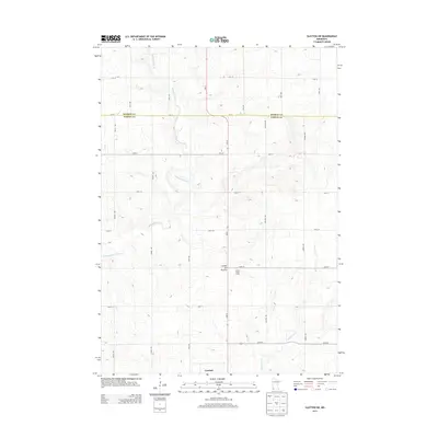
2013 Map of Slayton SW
USGS Topo · Published 2013About this map
Coteau des Prairies defines the elevated terrain of this agricultural landscape along the border of Murray and Nobles counties. The settlement of Lismore anchors the southern portion of the map, serving as a hub for the surrounding rural section lines. The drainage pattern is established by the winding courses of Champepadan Cr and Kanaranzi Cr, which cut through the undulating prairie. A dense network of local roads, including Chaney Ave, Cory Ave, and MN-91, creates a precise grid that reflects the systematic land divisions of southwestern Minnesota. Agricultural operations such as G and J Hog Farms illustrate the contemporary land use in this productive corner of the state during the early twenty-first century.
Find a feature on this map
26 named features on this map. Tap any name to fly to it.
Don’t see what you’re looking for? This feature index may not catch every label — zoom into the map to look around manually.
Map Details
Editions of this 2013 Slayton SW Map
This is the sole edition of this map. No revisions or reprints were ever made.
Other maps of this area

1954 · Fairmont
USGS Topo · 1:250,000

1955 · Sioux Falls
USGS Topo · 1:250,000

1958 · Sioux Falls
USGS Topo · 1:250,000

1958 · Fairmont
USGS Topo · 1:250,000

1967 · Slayton SW
USGS Topo · 1:24,000

1967 · Magnolia
USGS Topo · 1:24,000

1967 · Edgerton NE
USGS Topo · 1:24,000

1967 · Slayton
USGS Topo · 1:24,000

1967 · Kenneth
USGS Topo · 1:24,000

1967 · Wilmont
USGS Topo · 1:24,000