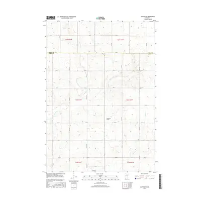
2016 Map of Slayton SW
USGS Topo · Published 2016About this map
Lismore anchors the southern edge of this landscape, situated just across the Murray Co / Nobles Co line in Southwestern Minnesota. The area is defined by the prominent Coteau des Prairies, a high glacial plateau that rises noticeably above the surrounding plains. This elevated terrain directs the flow of local waterways, with the headwaters of Champepadan Cr and Kanaranzi Cr cutting through the agricultural sections. The map reveals a highly structured township-and-range grid, where north-south thoroughfares like Chaney Ave and Dillman Ave intersect with an organized series of numbered east-west roads, such as 110th St and 150th St. This layout underscores the region's enduring commitment to a rural, farm-based economy where property lines and transport routes follow the precise geometry of the original land surveys.
Find a feature on this map
33 named features on this map. Tap any name to fly to it.
Don’t see what you’re looking for? This feature index may not catch every label — zoom into the map to look around manually.
Map Details
Editions of this 2016 Slayton SW Map
This is the sole edition of this map. No revisions or reprints were ever made.
Other maps of this area

1954 · Fairmont
USGS Topo · 1:250,000

1955 · Sioux Falls
USGS Topo · 1:250,000

1958 · Sioux Falls
USGS Topo · 1:250,000

1958 · Fairmont
USGS Topo · 1:250,000

1967 · Slayton SW
USGS Topo · 1:24,000

1967 · Magnolia
USGS Topo · 1:24,000

1967 · Edgerton NE
USGS Topo · 1:24,000

1967 · Slayton
USGS Topo · 1:24,000

1967 · Kenneth
USGS Topo · 1:24,000

1967 · Wilmont
USGS Topo · 1:24,000