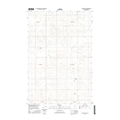
2017 Map of Sleepy Hollow
USGS Topo · Published 2017About this map
Sleepy Hollow defines the central topography of this Montana landscape, where drainage systems like Saurs Coulee and Witchie Coulee carve through the Garfield County terrain. The region's agricultural reliance is anchored by the Little Dry Water Users Association Canal, an essential piece of water infrastructure that runs alongside the natural course of Little Dry Cr. Local travel and access are facilitated by a modest network of unimproved roads, including Uall Rd and Crow Rock Rd, which connect the isolated ranching and grazing tracts. The map details a complex web of intermittent streams such as Antelope Cr, Hawks Nest Cr, and Uall Cr, reflecting the semi-arid character of the eastern Montana plains during the early twenty-first century.
Find a feature on this map
16 named features on this map. Tap any name to fly to it.
Don’t see what you’re looking for? This feature index may not catch every label — zoom into the map to look around manually.
Map Details
Editions of this 2017 Sleepy Hollow Map
This is the sole edition of this map. No revisions or reprints were ever made.
Other maps of this area

1954 · Jordan
USGS Topo · 1:250,000

1954 · Forsyth
USGS Topo · 1:250,000

1956 · Jordan
USGS Topo · 1:250,000

1957 · Forsyth
USGS Topo · 1:250,000

1958 · Jordan
USGS Topo · 1:250,000

1958 · Forsyth
USGS Topo · 1:250,000

1964 · Jordan
USGS Topo · 1:250,000

1965 · Little Chalk Butte
USGS Topo · 1:24,000

1965 · Whiteside Ranch
USGS Topo · 1:24,000

1965 · Calamity Coulee
USGS Topo · 1:24,000