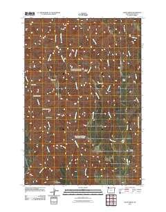
2011 Map of Sleepy Ridge
USGS Topo · Published 2011About this map
Sleepy Ridge and its neighboring spines define this high-elevation terrain in Wallowa County, where a network of steep drainages feeds into larger water systems. The landscape is marked by colorful local nomenclature for its canyons and draws, such as Windy Hell Canyon, Rheumatiz Gulch, and Hays Gulch. These names suggest a history of early ranching or travel through difficult topography.
Find a feature on this map
20 named features on this map. Tap any name to fly to it.
Don’t see what you’re looking for? This feature index may not catch every label — zoom into the map to look around manually.
Map Details
Editions of this 2011 Sleepy Ridge Map
This is the sole edition of this map. No revisions or reprints were ever made.
Other maps of this area

1922 · He Devil
USGS Topo · 1:48,000

1954 · Imnaha
USGS Topo · 1:62,500

1954 · Kernan Point
USGS Topo · 1:62,500

1954 · Harl Butte
USGS Topo · 1:62,500

1955 · Grangeville
USGS Topo · 1:250,000

1957 · He Devil
USGS Topo · 1:62,500

1959 · Grangeville
USGS Topo · 1:250,000

1980 · Grangeville
USGS Topo · 1:100,000

1987 · Riggins
USGS Topo · 1:100,000

1990 · Imnaha
USGS Topo · 1:24,000