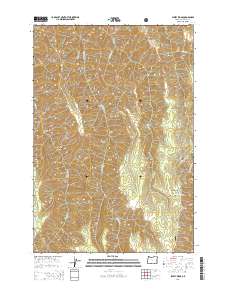
2014 Map of Sleepy Ridge
USGS Topo · Published 2014About this map
Wallowa National Forest land defines this portion of northeastern Oregon, where a complex network of ridges and drainages creates a high-relief landscape. The terrain is characterized by prominent landforms such as Sleepy Ridge, Wing Ridge, and Windy Ridge, which separate deep canyons and gulches. Names like Windy Hell Canyon, Rheumatiz Gulch, and Saddle Gulch suggest the character and challenges faced by early travelers and land managers in this wilderness.
Find a feature on this map
30 named features on this map. Tap any name to fly to it.
Don’t see what you’re looking for? This feature index may not catch every label — zoom into the map to look around manually.
Map Details
Editions of this 2014 Sleepy Ridge Map
This is the sole edition of this map. No revisions or reprints were ever made.
Other maps of this area

1922 · He Devil
USGS Topo · 1:48,000

1954 · Imnaha
USGS Topo · 1:62,500

1954 · Kernan Point
USGS Topo · 1:62,500

1954 · Harl Butte
USGS Topo · 1:62,500

1955 · Grangeville
USGS Topo · 1:250,000

1957 · He Devil
USGS Topo · 1:62,500

1959 · Grangeville
USGS Topo · 1:250,000

1980 · Grangeville
USGS Topo · 1:100,000

1987 · Riggins
USGS Topo · 1:100,000

1990 · Imnaha
USGS Topo · 1:24,000