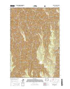
2017 Map of Sleepy Ridge
USGS Topo · Published 2017About this map
The Wallowa National Forest terrain dominates this 2017 survey, where a complex network of high ridges and deep drainages defines the northeastern Oregon landscape. Significant elevations are marked by landforms such as Sleepy Ridge, Summit Ridge, and the distinct Bald Knob in the south. The drainage system is particularly dense, with Sleepy Cr and its tributaries, including Medicine Cr and Hangover Cr, carving through the topography. Notable local naming conventions are evident in features like Rheumatiz Gulch, Windy Hell Canyon, and Sour Apple Flat, which provide a characterful look at how local landmarks were identified by those working the land. The map also delineates Numerous Public Land Survey System (PLSS) divisions and private boundary (PB) tracts, showing the intersection of federal forest management and historic land claims.
Find a feature on this map
48 named features on this map. Tap any name to fly to it.
Don’t see what you’re looking for? This feature index may not catch every label — zoom into the map to look around manually.
Map Details
Editions of this 2017 Sleepy Ridge Map
This is the sole edition of this map. No revisions or reprints were ever made.
Other maps of this area

1922 · He Devil
USGS Topo · 1:48,000

1954 · Imnaha
USGS Topo · 1:62,500

1954 · Kernan Point
USGS Topo · 1:62,500

1954 · Harl Butte
USGS Topo · 1:62,500

1955 · Grangeville
USGS Topo · 1:250,000

1957 · He Devil
USGS Topo · 1:62,500

1959 · Grangeville
USGS Topo · 1:250,000

1980 · Grangeville
USGS Topo · 1:100,000

1987 · Riggins
USGS Topo · 1:100,000

1990 · Imnaha
USGS Topo · 1:24,000