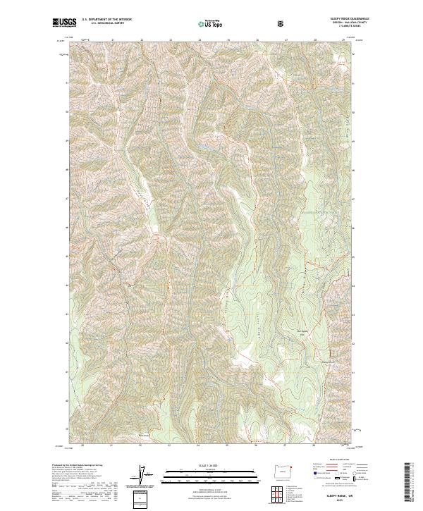
2023 Map of Sleepy Ridge
USGS Topo · Published 2023About this map
Hells Canyon Wilderness and the Wallowa National Forest define this landscape of high ridges and deep drainages in Wallowa County. The terrain is characterized by a series of north-south elevations including Sleepy Ridge, Haas Ridge, and Summit Ridge, which are separated by significant watercourses like Medicine Creek and Lightning Creek. A network of backcountry trails, such as the Western Rim National Recreation Trl and the Jakey Ridge Trl, connects high-elevation points like Bald Knob and Grassy Knoll. The naming conventions reflect a rugged character, with locations such as Windy Hell Canyon and Sour Apple Flat suggesting the experiences of early travelers and foresters. This map documents a largely undeveloped environment preserved for its wilderness value, where the drainage patterns of Sleepy Creek and Cow Creek provide a clear view of the complex topography before it descends toward the Snake River system.
Find a feature on this map
58 named features on this map. Tap any name to fly to it.
Don’t see what you’re looking for? This feature index may not catch every label — zoom into the map to look around manually.
Map Details
Editions of this 2023 Sleepy Ridge Map
This is the sole edition of this map. No revisions or reprints were ever made.
Other maps of this area

1922 · He Devil
USGS Topo · 1:48,000

1954 · Imnaha
USGS Topo · 1:62,500

1954 · Kernan Point
USGS Topo · 1:62,500

1954 · Harl Butte
USGS Topo · 1:62,500

1955 · Grangeville
USGS Topo · 1:250,000

1957 · He Devil
USGS Topo · 1:62,500

1959 · Grangeville
USGS Topo · 1:250,000

1980 · Grangeville
USGS Topo · 1:100,000

1987 · Riggins
USGS Topo · 1:100,000

1990 · Imnaha
USGS Topo · 1:24,000