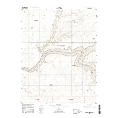
2017 Map of Slickhorn Canyon West
USGS Topo · Published 2017About this map
The San Juan River carves a deep, serpentine path through the heart of the Glen Canyon National Recreation Area, defining the complex topography of this desert landscape. The river is flanked by dramatic plateau features and deep incisions, notably Slickhorn Canyon and Grand Gulch, which drain the surrounding highlands. This 2017 survey illustrates the stark contrast between the high alluvial plains of Grand Flat and the shadowed recesses of the canyon floors below.
Find a feature on this map
20 named features on this map. Tap any name to fly to it.
Don’t see what you’re looking for? This feature index may not catch every label — zoom into the map to look around manually.
Map Details
Editions of this 2017 Slickhorn Canyon West Map
This is the sole edition of this map. No revisions or reprints were ever made.
Other maps of this area

1886 · Henry Mountains
USGS Topo · 1:250,000

1892 · Henry Mountains
USGS Topo · 1:250,000

1952 · Oljeto
USGS Topo · 1:62,500
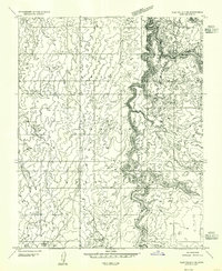
1954 · Clay Hills 3 NE
USGS Topo · 1:24,000

1954 · Clay Hills 2 NE
USGS Topo · 1:24,000

1954 · Clay Hills 2 SE
USGS Topo · 1:24,000

1954 · Clay Hills 1 NW
USGS Topo · 1:24,000
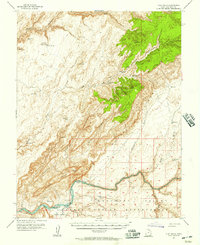
1954 · Clay Hills
USGS Topo · 1:62,500

1956 · Escalante
USGS Topo · 1:250,000

1960 · Escalante
USGS Topo · 1:250,000