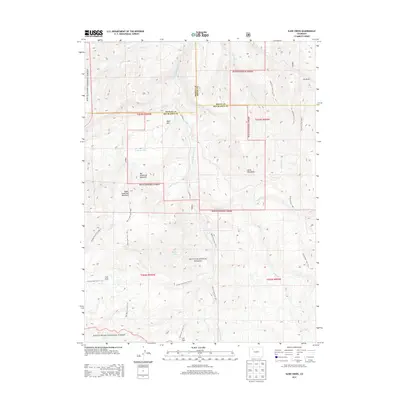
2013 Map of Slide Creek
USGS Topo · Published 2013About this map
The Routt National Forest and White River National Forest converge in this high-elevation landscape, where the S Fork Williams Fork and its many tributaries carve through the Colorado wilderness. The terrain is defined by prominent peaks including Big Sugarloaf Mountain and Horse Mountain, alongside higher features like Upper Sugarloaf Mountain. This 2013 survey documents a remote network of forest service paths, such as the Berry Lake Trail 1196.1 leading toward the alpine waters of Berry Lake. Human intervention in this environment is visible through the presence of the Sullivan Ditch and CO Road 121, which traverses the border between Moffat, Routt, and Rio Blanco counties. Broad basins like Salt Park and Lost Park provide clear landmarks within the dense forest boundaries.
Find a feature on this map
42 named features on this map. Tap any name to fly to it.
Don’t see what you’re looking for? This feature index may not catch every label — zoom into the map to look around manually.
Map Details
Editions of this 2013 Slide Creek Map
This is the sole edition of this map. No revisions or reprints were ever made.
Other maps of this area

1910 · Danforth Hills
USGS Topo · 1:125,000

1915 · Monument Butte
USGS Topo · 1:62,500

1916 · Daton Peak
USGS Topo · 1:62,500

1920 · Daton Peak
USGS Topo · 1:62,500

1954 · Craig
USGS Topo · 1:250,000

1957 · Craig
USGS Topo · 1:250,000

1958 · Craig
USGS Topo · 1:250,000

1960 · Craig
USGS Topo · 1:250,000

1962 · Craig
USGS Topo · 1:250,000

1964 · Craig
USGS Topo · 1:250,000