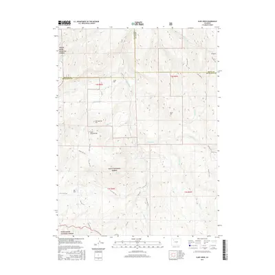
2016 Map of Slide Creek
USGS Topo · Published 2016About this map
Berry Lake sits at the heart of this high-altitude landscape, where the boundaries of Routt National Forest and White River National Forest meet. The terrain is defined by prominent peaks and ridges, including Big Sugarloaf Mtn, Upper Sugarloaf Mtn, and Horse Mtn. A network of historic paths and trails suggests a long-standing reliance on the land for timber and recreation, with the Indian Run Trail and Elk Draw Trail threading through the northern draws, while the Salt Park Trail and S Fork Trail navigate the southern reaches.
Find a feature on this map
43 named features on this map. Tap any name to fly to it.
Don’t see what you’re looking for? This feature index may not catch every label — zoom into the map to look around manually.
Map Details
Editions of this 2016 Slide Creek Map
This is the sole edition of this map. No revisions or reprints were ever made.
Other maps of this area

1910 · Danforth Hills
USGS Topo · 1:125,000

1915 · Monument Butte
USGS Topo · 1:62,500

1916 · Daton Peak
USGS Topo · 1:62,500

1920 · Daton Peak
USGS Topo · 1:62,500

1954 · Craig
USGS Topo · 1:250,000

1957 · Craig
USGS Topo · 1:250,000

1958 · Craig
USGS Topo · 1:250,000

1960 · Craig
USGS Topo · 1:250,000

1962 · Craig
USGS Topo · 1:250,000

1964 · Craig
USGS Topo · 1:250,000