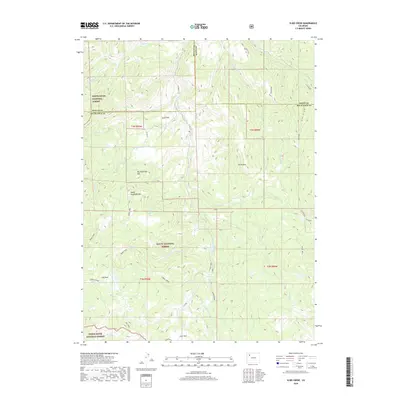
2019 Map of Slide Creek
USGS Topo · Published 2019About this map
The White River National Forest and Routt National Forest converge in this high-altitude landscape of northwest Colorado, where the borders of Moffat, Routt, and Rio Blanco counties meet. This 2019 survey captures a complex watershed defined by the headwaters of Pagoda Cr, Berry Cr, and the S Fork Williams Fork. A legacy of water management is visible in the presence of the Sullivan Ditch, which cuts through the mountainous terrain north of Big Sugarloaf Mtn. High-elevation basins such as Salt Park and Lost Park are tucked between prominent summits like Horse Mtn and Upper Sugarloaf Mtn. Near the eastern edge, the label Stinsby and the S Fork Spur roadway suggest localized points of access within the predominantly undeveloped forest lands.
Find a feature on this map
40 named features on this map. Tap any name to fly to it.
Don’t see what you’re looking for? This feature index may not catch every label — zoom into the map to look around manually.
Map Details
Editions of this 2019 Slide Creek Map
This is the sole edition of this map. No revisions or reprints were ever made.
Other maps of this area

1910 · Danforth Hills
USGS Topo · 1:125,000

1915 · Monument Butte
USGS Topo · 1:62,500

1916 · Daton Peak
USGS Topo · 1:62,500

1920 · Daton Peak
USGS Topo · 1:62,500

1954 · Craig
USGS Topo · 1:250,000

1957 · Craig
USGS Topo · 1:250,000

1958 · Craig
USGS Topo · 1:250,000

1960 · Craig
USGS Topo · 1:250,000

1962 · Craig
USGS Topo · 1:250,000

1964 · Craig
USGS Topo · 1:250,000