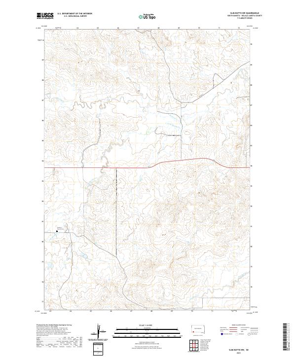
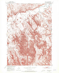
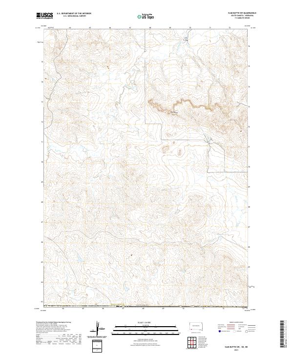
2021 Map of Slim Butte NW
USGS Topo · Published 2021About this map
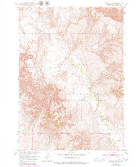
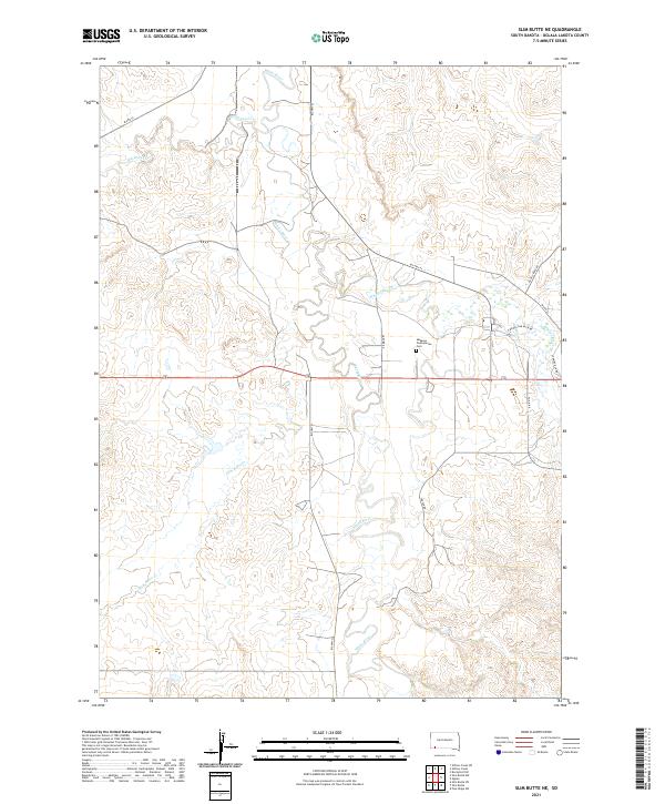
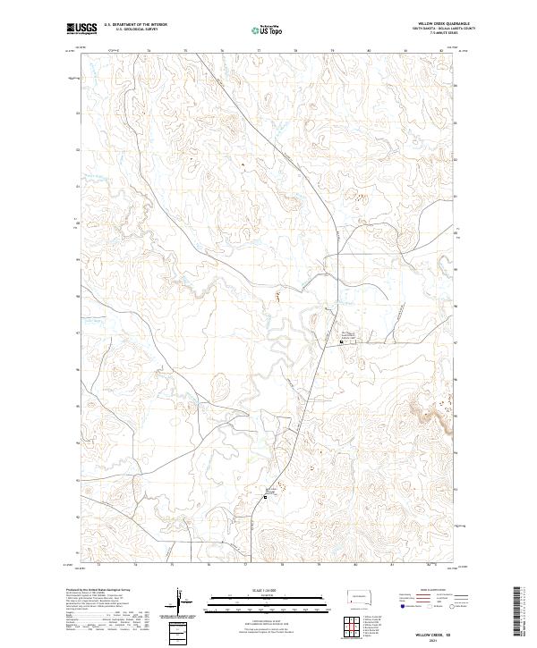
Swallow Church Cem stands as a focal point for local history in this portion of South Dakota within the Oglala Lakota territory. The landscape is defined by the branching drainage systems of Blacktail Creek, including the South Branch Blacktail Creek which cuts through the northern sections, and Slim Butte Creek to the south. Transportation in the area is largely facilitated by BIA Road 52, reflecting the infrastructure of the tribal land management system. The map provides a look at the Public Land Survey System organization, spanning several townships including t37n r48w and t38n r47w. The absence of dense residential development emphasizes the area's rural character, where small landmarks and watercourses dictate the geography of the community.
Find a feature on this map
12 named features on this map. Tap any name to fly to it.
Don’t see what you’re looking for? This feature index may not catch every label — zoom into the map to look around manually.
Map Details
Editions of this 2021 Slim Butte NW Map
This is the sole edition of this map. No revisions or reprints were ever made.
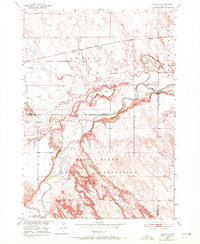
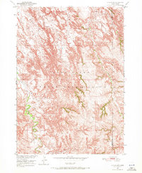
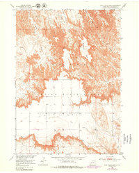
Historical Maps of Pine Ridge Through Time
66 maps found

1950 Bouquet Table
Oglala Lakota County, SD
1950 Conata
Oglala Lakota County, SD
1950 Conata SW
Oglala Lakota County, SD
1950 Cuny Table East
Oglala Lakota County, SD
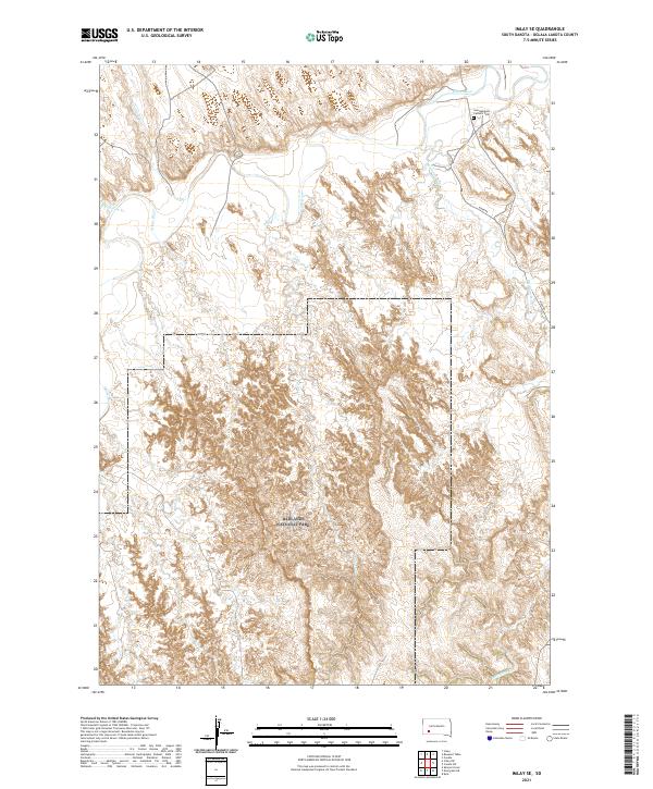
1950 Imlay SE
Oglala Lakota County, SD
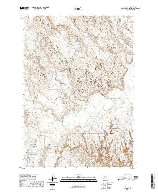
1950 Imlay SW
Oglala Lakota County, SD

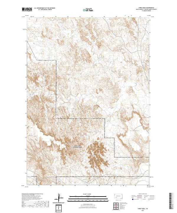
1950 Stirk Table
Oglala Lakota County, SD
1951 Cuny Table West
Oglala Lakota County, SD
1951 Red Shirt SW
Oglala Lakota County, SD

1951 Rockyford NW
Oglala Lakota County, SD

1951 Rockyford
Oglala Lakota County, SD

1951 Rockyford SE
Oglala Lakota County, SD

1951 Rockyford SW
Oglala Lakota County, SD
1951 Sharps Corner
Oglala Lakota County, SD

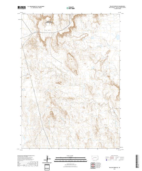
1951 Willow Creek NE
Oglala Lakota County, SD

1951 Willow Creek NW
Oglala Lakota County, SD

1952 Bouquet Table
Oglala Lakota County, SD

1952 Conata
Oglala Lakota County, SD

1967 Denby
Oglala Lakota County, SD

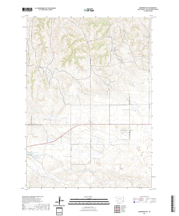
1967 Manderson
Oglala Lakota County, SD
1967 Manderson SW
Oglala Lakota County, SD

1967 Pine Ridge NE
Oglala Lakota County, SD
1967 Pine Ridge SW
Oglala Lakota County, SD

1967 Slim Butte NE
Oglala Lakota County, SD

1967 Slim Butte NW
Oglala Lakota County, SD

1967 Slim Butte
Oglala Lakota County, SD
1967 Slim Butte SW
Oglala Lakota County, SD

1967 Willow Creek
Oglala Lakota County, SD

1967 Willow Creek SW
Oglala Lakota County, SD

1981 Evergreen NE
Oglala Lakota County, SD

1981 Evergreen
Oglala Lakota County, SD

1981 Wakpamani
Oglala Lakota County, SD

1981 Yellow Bear Camp
Oglala Lakota County, SD

2021 Batesland NW
Oglala Lakota County, SD
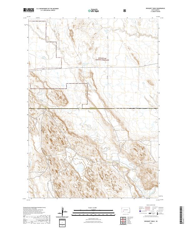
2021 Bouquet Table
Oglala Lakota County, SD

2021 Conata
Oglala Lakota County, SD
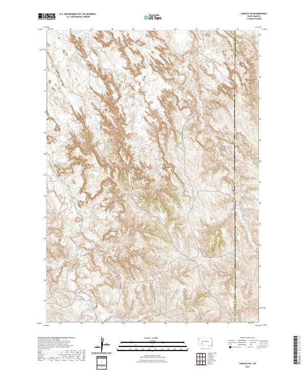
2021 Conata SW
Oglala Lakota County, SD
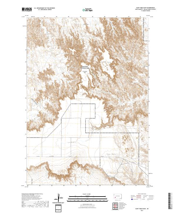
2021 Cuny Table East
Oglala Lakota County, SD
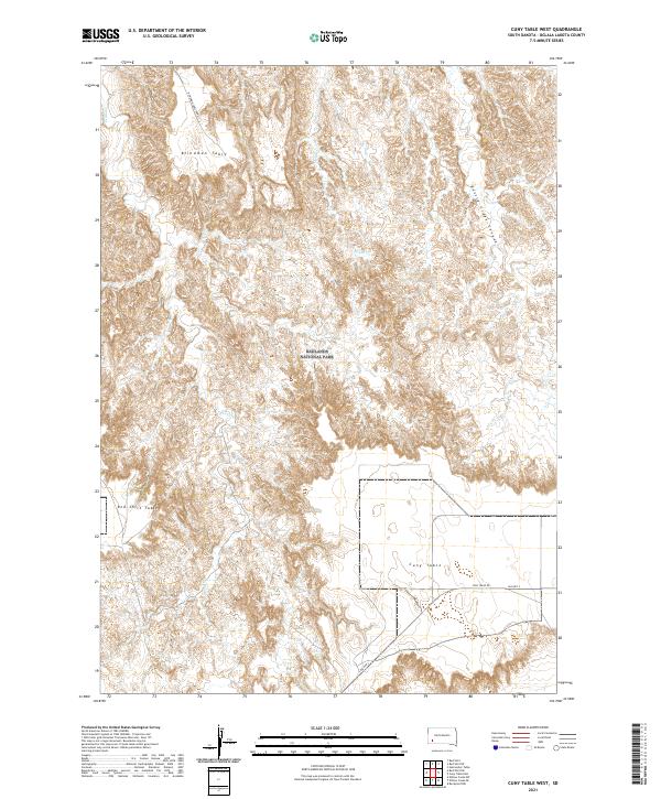
2021 Cuny Table West
Oglala Lakota County, SD
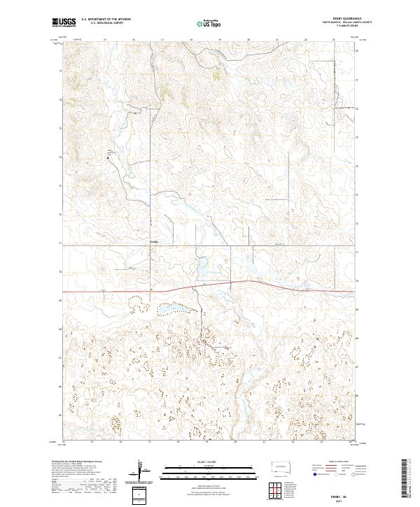
2021 Denby
Oglala Lakota County, SD
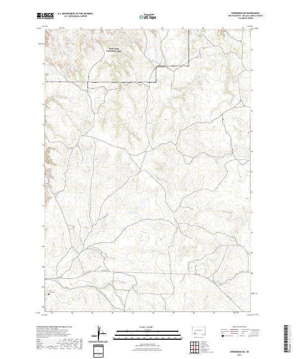
2021 Evergreen NE
Oglala Lakota County, SD
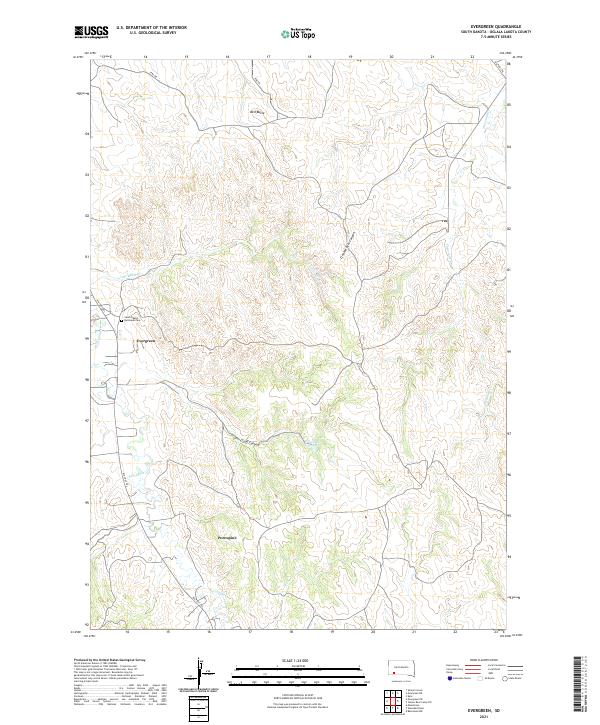
2021 Evergreen
Oglala Lakota County, SD
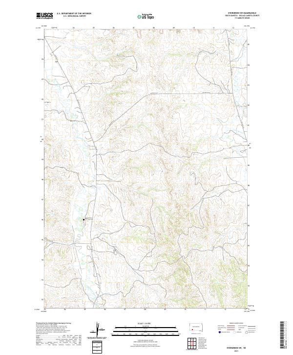
2021 Evergreen SW
Oglala Lakota County, SD
2021 Imlay SE
Oglala Lakota County, SD
2021 Imlay SW
Oglala Lakota County, SD

2021 Manderson
Oglala Lakota County, SD
2021 Manderson SW
Oglala Lakota County, SD

2021 Pine Ridge NE
Oglala Lakota County, SD
2021 Pine Ridge SW
Oglala Lakota County, SD
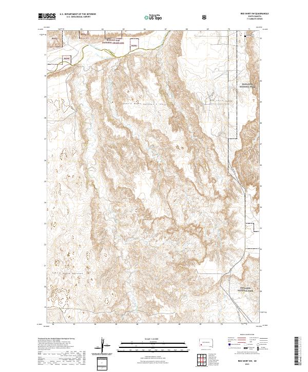
2021 Red Shirt SW
Oglala Lakota County, SD
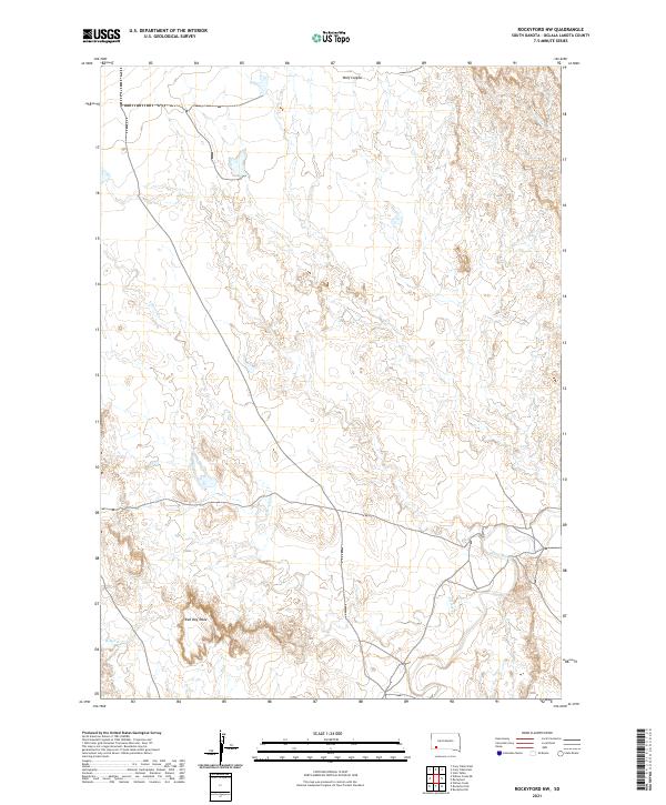
2021 Rockyford NW
Oglala Lakota County, SD
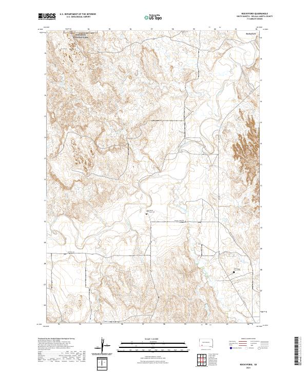
2021 Rockyford
Oglala Lakota County, SD
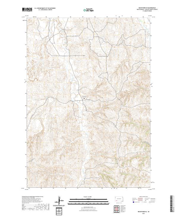
2021 Rockyford SE
Oglala Lakota County, SD
2021 Rockyford SW
Oglala Lakota County, SD
2021 Sharps Corner
Oglala Lakota County, SD
2021 Slim Butte NE
Oglala Lakota County, SD
2021 Slim Butte NW
Oglala Lakota County, SD
2021 Slim Butte
Oglala Lakota County, SD
2021 Slim Butte SW
Oglala Lakota County, SD
2021 Stirk Table
Oglala Lakota County, SD

2021 Wakpamani
Oglala Lakota County, SD
2021 Willow Creek NE
Oglala Lakota County, SD
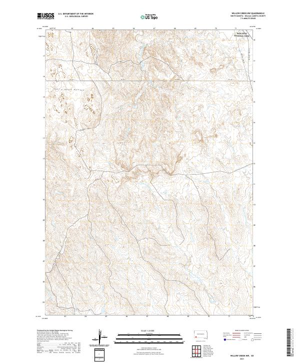
2021 Willow Creek NW
Oglala Lakota County, SD
2021 Willow Creek
Oglala Lakota County, SD
2021 Willow Creek SW
Oglala Lakota County, SD
2021 Yellow Bear Camp SW
Oglala Lakota County, SD