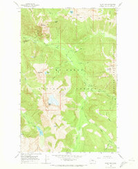
1966 Map of Sloan Peak
USGS Topo · Published 1973About this map
The North Fork Sauk River carves through the high elevations of the Cascades in this mid-1960s survey, illustrating a landscape defined by its alpine hydrology and federal land management. Within the Mt Baker National Forest and the Glacier Peak Wilderness, the map traces the network of steep drainages including Sloan Creek, Elliott Creek, and Pugh Creek. High-altitude basins are dotted with clear water bodies like Goat Lake, Cadet Lake, and Ruby Lake, which sit under the shadows of Sloan Peak and Spring Mountain. Historical human presence is documented through primitive infrastructure, notably at Sloan Creek Campground and the Rainey Camp site, along with a Lookout point positioned for fire observation. The lack of improved roads and the prevalence of labeled Pack Trails reflect an era where these mountain reaches were accessible primarily by foot or animal, prior to later shifts in forest management and recreational development.
Find a feature on this map
35 named features on this map. Tap any name to fly to it.
Don’t see what you’re looking for? This feature index may not catch every label — zoom into the map to look around manually.
Map Details
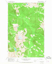
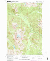
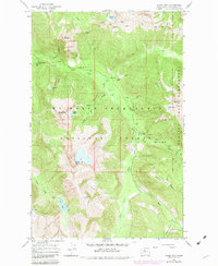
Editions of this 1966 Sloan Peak Map
4 editions found
Other maps of this area

1899 · Glacier Peak
USGS Topo · 1:125,000

1901 · Glacier Peak
USGS Topo · 1:125,000

1902 · Skykomish
USGS Topo · 1:125,000

1905 · Skykomish
USGS Topo · 1:125,000

1950 · Glacier Peak
USGS Topo · 1:62,500

1955 · Concrete
USGS Topo · 1:250,000

1957 · Wenatchee
USGS Topo · 1:250,000

1958 · Concrete
USGS Topo · 1:250,000

1962 · Concrete
USGS Topo · 1:250,000

1965 · Monte Cristo
USGS Topo · 1:24,000