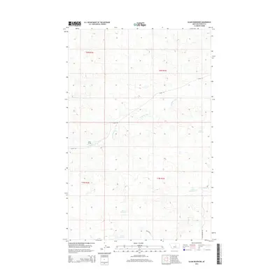
2014 Map of Sloan Reservoir
USGS Topo · Published 2014About this map
The Sacagawea River winds through the high plains of Fergus County, defining the drainage patterns of this sparsely populated Montana landscape. A network of man-made water features, including Sloan Reservoir, Lincoln Reservoir, and Jordan Reservoir, illustrates the intensive management of water resources required for ranching or agricultural sustainability in this semi-arid environment. The presence of Joslin Bridge indicates a critical crossing point over the river, connecting remote segments of the territory. The map also delineates established backcountry routes such as the Wilder Trl and Kasier Reservoir Rd, which provide access to the drainages of Antelope Cr and the higher elevations of the surrounding township and range blocks.
Find a feature on this map
14 named features on this map. Tap any name to fly to it.
Don’t see what you’re looking for? This feature index may not catch every label — zoom into the map to look around manually.
Map Details
Editions of this 2014 Sloan Reservoir Map
This is the sole edition of this map. No revisions or reprints were ever made.
Other maps of this area

1943 · Landusky
USGS Topo · 1:125,000

1954 · Hessler Ridge
USGS Topo · 1:24,000

1954 · Carter Coulee
USGS Topo · 1:24,000

1954 · Lewistown
USGS Topo · 1:250,000

1959 · Lewistown
USGS Topo · 1:250,000

1984 · Zortman
USGS Topo · 1:100,000

1985 · Griffee Coulee
USGS Topo · 1:24,000

1985 · Bear Creek Reservoir SE
USGS Topo · 1:24,000

1985 · Sloan Reservoir
USGS Topo · 1:24,000
1985 · Mitchell Crossing
USGS Topo · 1:24,000