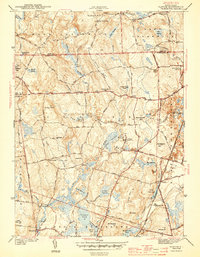
1943 Map of Slocum
USGS Topo · Published 1943About this map
The town of Exeter and the surrounding rural interior of Rhode Island are documented in this 1942 survey, revealing a landscape defined by small mill ponds and scattered hill-country hamlets. The Queen River and Chickasheen Brook drain a terrain of numerous swamps and reservoirs, which supported local industries like those found at Yorker Mill Pond. The mapping captures essential community anchors for genealogists, including Hitty Corner Sch, Hall Sch, and Liberty Ch.
Find a feature on this map
98 named features on this map. Tap any name to fly to it.
Don’t see what you’re looking for? This feature index may not catch every label — zoom into the map to look around manually.
Map Details
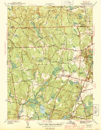
Editions of this 1943 Slocum Map
2 editions found
Other maps of this area

1889 · Charlestown
USGS Topo · 1:62,500

1889 · Newport
USGS Topo · 1:62,500

1890 · Narragansett Bay
USGS Topo · 1:62,500

1890 · Kent
USGS Topo · 1:62,500

1892 · Narragansett Bay
USGS Topo · 1:62,500

1894 · Kent
USGS Topo · 1:62,500

1894 · Newport
USGS Topo · 1:62,500

1904 · Newport
USGS Topo · 1:62,500

1919 · Charlestown
USGS Topo · 1:62,500

1919 · Narragansett Bay
USGS Topo · 1:62,500