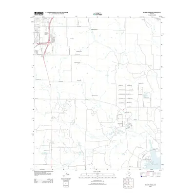
2012 Map of Sloop Creek
USGS Topo · Published 2012About this map
Kickapoo Downtown Airport serves as a prominent landmark in the northwestern corner of this area just outside Wichita Falls, where suburban expansion meets the expansive ranching country of North Texas. The landscape is defined by a dense network of family-owned ranching estates, including the McGregor Ranch, Rathgeber Ranch, and Vogtsberger Ranch. These properties are interspersed with numerous small reservoirs such as McGregor Ranch Lake Number 2 and Lee Lake, which support the livestock economy in this semi-arid region.
Find a feature on this map
87 named features on this map. Tap any name to fly to it.
Don’t see what you’re looking for? This feature index may not catch every label — zoom into the map to look around manually.
Map Details
Editions of this 2012 Sloop Creek Map
This is the sole edition of this map. No revisions or reprints were ever made.
Other maps of this area

1931 · Archer City
USGS Topo · 1:62,500

1954 · Wichita Falls
USGS Topo · 1:250,000

1956 · Sloop Creek
USGS Topo · 1:24,000

1956 · Lake Wichita
USGS Topo · 1:24,000

1957 · Wichita Falls West
USGS Topo · 1:24,000

1957 · Wichita Falls East
USGS Topo · 1:62,500

1957 · Wichita Falls East
USGS Topo · 1:24,000

1957 · Wichita Falls West
USGS Topo · 1:62,500

1958 · Wichita Falls
USGS Topo · 1:250,000

1963 · Deer Creek
USGS Topo · 1:24,000