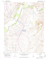
1968 Map of Sloughhouse
USGS Topo · Published 1977About this map
The Cosumnes River corridor in Sacramento County reveals a transition between old agrarian roots and mid-century land-use changes. Small settlements like Sloughhouse and Cosumne sit near the river's path, while the landscape further south adopts a distinct grid of orchards and family farms. This agricultural footprint is evidenced by a cluster of named roads such as Peach Lane, Orange Road, and Fig Road. Notable community fixtures include the Rhoades School, Dillard Sch, and the Alta Mesa Community Hall.
Find a feature on this map
52 named features on this map. Tap any name to fly to it.
Don’t see what you’re looking for? This feature index may not catch every label — zoom into the map to look around manually.
Map Details
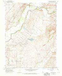
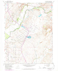
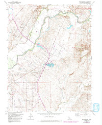
Editions of this 1968 Sloughhouse Map
4 editions found
Other maps of this area

1891 · Sacramento
USGS Topo · 1:125,000

1892 · Sacramento
USGS Topo · 1:125,000

1893 · Sacramento
USGS Topo · 1:125,000

1894 · Lodi
USGS Topo · 1:125,000

1902 · Fairoaks
USGS Topo · 1:62,500

1908 · Buffalo Creek
USGS Topo · 1:31,680

1909 · Elk Grove
USGS Topo · 1:31,680

1909 · Carbondale
USGS Topo · 1:31,680

1909 · Clay
USGS Topo · 1:31,680

1909 · Cosumnes
USGS Topo · 1:31,680