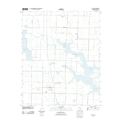
2011 Map of Slovak
USGS Topo · Published 2011About this map
The immigrant-founded settlement of Slovak defines the cultural geography of this Prairie County landscape, reflecting the heritage of the farmers who moved to the Arkansas Grand Prairie. The town remains a focal point for researchers, particularly with the presence of the Russian Orthodox Cemetery nearby. Further north, the legacy of early 20th-century settlement is anchored by the Czech National Cemetery along Czech Cemetery Rd, a testament to the diverse roots of the local agricultural community.
Find a feature on this map
53 named features on this map. Tap any name to fly to it.
Don’t see what you’re looking for? This feature index may not catch every label — zoom into the map to look around manually.
Map Details
Editions of this 2011 Slovak Map
This is the sole edition of this map. No revisions or reprints were ever made.
Other maps of this area

1935 · Hazen
USGS Topo · 1:62,500

1935 · Clarendon
USGS Topo · 1:62,500

1937 · Stuttgart
USGS Topo · 1:62,500

1939 · Stuttgart
USGS Topo · 1:62,500

1941 · Hazen
USGS Topo · 1:62,500

1941 · De Valls Bluff
USGS Topo · 1:62,500

1941 · Clarendon
USGS Topo · 1:62,500

1948 · Helena
USGS Topo · 1:250,000

1950 · Helena
USGS Topo · 1:250,000

1955 · Helena
USGS Topo · 1:250,000