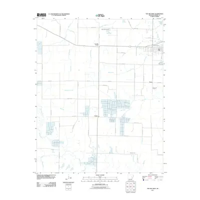
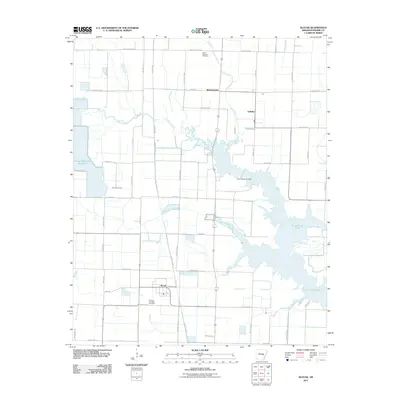
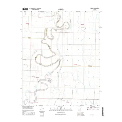
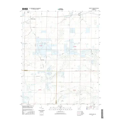
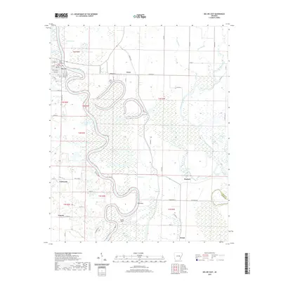
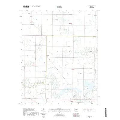
1969 Map of Slovak
USGS Topo · Published 1971About this map
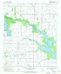
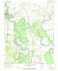
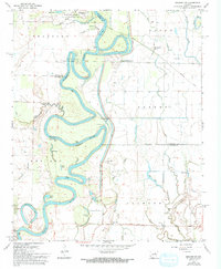
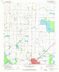
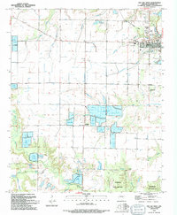
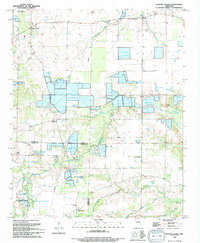
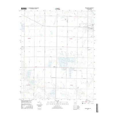
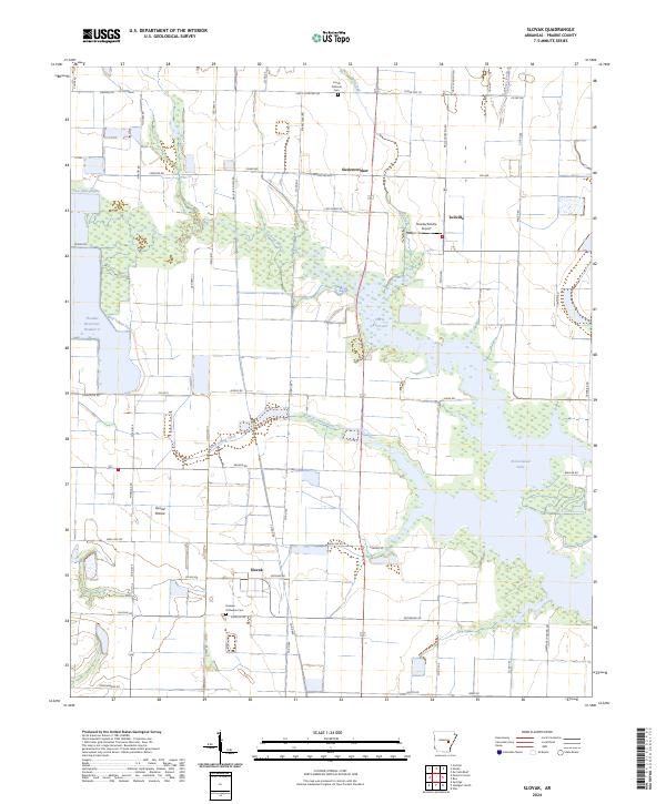
The agricultural landscape of Grand Prairie defines this 1960s survey, illustrating a region shaped by complex water management and Central European heritage. The settlement of Slovak stands at the heart of the quadrangle, flanked by the Russian Orthodox Cem and the Czech National Cem, reflecting the specific immigrant history of this portion of Prairie County. The terrain is a network of irrigation, with Peckerwood Lake and various reservoirs providing the water necessary for the local rice and soybean economy. Transport is anchored by the Chicago Rock Island and Pacific railroad, which runs north-south through Tollville, passing near St Peters Ch. Natural drainage follows the meandering path of La Grue Bayou and Wolf Island Slash, cutting through a grid of section lines and isolated farms like Siedenstricker.
Find a feature on this map
23 named features on this map. Tap any name to fly to it.
Don’t see what you’re looking for? This feature index may not catch every label — zoom into the map to look around manually.
Map Details
Editions of this 1969 Slovak Map
This is the sole edition of this map. No revisions or reprints were ever made.
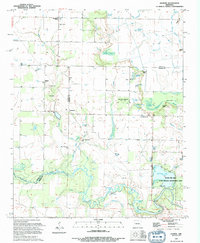
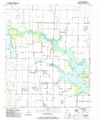
Historical Maps of Siedenstricker Through Time
46 maps found
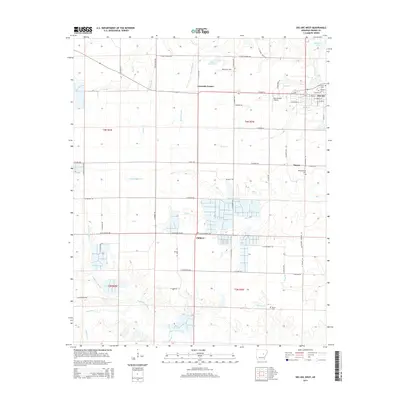
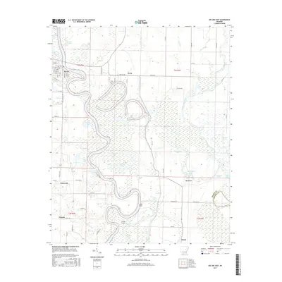
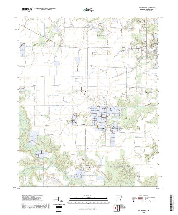
1964 Des Arc West
Prairie County, AR
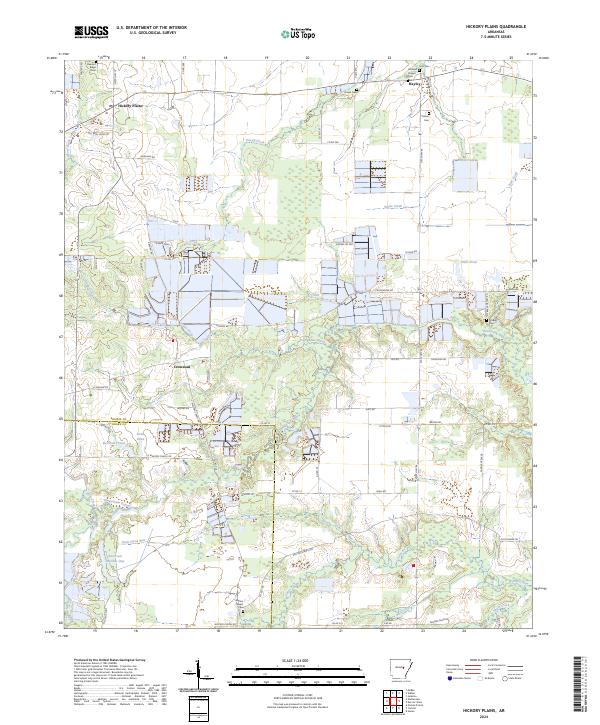
1964 Hickory Plains
Prairie County, AR
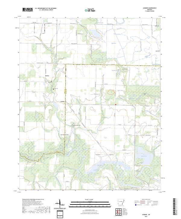
1964 Jasmine
Prairie County, AR
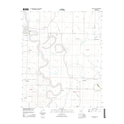
1968 Des Arc East
Prairie County, AR
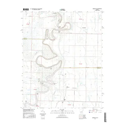
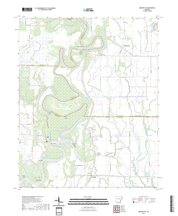
1968 Gregory SW
Prairie County, AR
1969 Slovak
Prairie County, AR
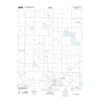
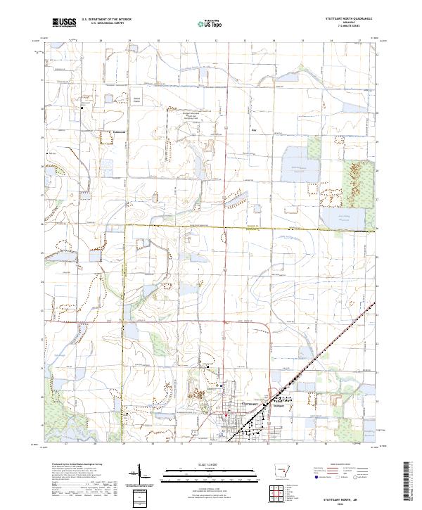
1969 Stuttgart North
Prairie County, AR
1994 Des Arc West
Prairie County, AR
1994 Hickory Plains
Prairie County, AR
1994 Jasmine
Prairie County, AR
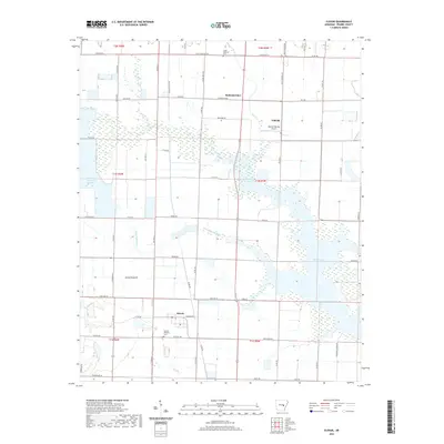
1994 Slovak
Prairie County, AR
2011 Des Arc East
Prairie County, AR
2011 Des Arc West
Prairie County, AR
2011 Gregory SW
Prairie County, AR
2011 Hickory Plains
Prairie County, AR
2011 Jasmine
Prairie County, AR
2011 Slovak
Prairie County, AR
2011 Stuttgart North
Prairie County, AR
2014 Des Arc East
Prairie County, AR
2014 Des Arc West
Prairie County, AR
2014 Gregory SW
Prairie County, AR
2014 Hickory Plains
Prairie County, AR
2014 Jasmine
Prairie County, AR
2014 Slovak
Prairie County, AR
2014 Stuttgart North
Prairie County, AR
2017 Des Arc East
Prairie County, AR
2017 Des Arc West
Prairie County, AR
2017 Gregory SW
Prairie County, AR
2017 Hickory Plains
Prairie County, AR
2017 Jasmine
Prairie County, AR
2017 Slovak
Prairie County, AR
2017 Stuttgart North
Prairie County, AR
2020 Des Arc East
Prairie County, AR
2020 Des Arc West
Prairie County, AR
2020 Gregory SW
Prairie County, AR
2020 Hickory Plains
Prairie County, AR
2020 Jasmine
Prairie County, AR
2020 Slovak
Prairie County, AR
2020 Stuttgart North
Prairie County, AR
2024 Des Arc East
Prairie County, AR
2024 Des Arc West
Prairie County, AR
2024 Gregory SW
Prairie County, AR
2024 Hickory Plains
Prairie County, AR
2024 Jasmine
Prairie County, AR
2024 Slovak
Prairie County, AR
2024 Stuttgart North
Prairie County, AR