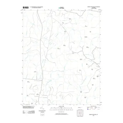
2010 Map of Smartt Mountain
USGS Topo · Published 2010About this map
Smartt Mountain and the surrounding high ground of the Cumberland Plateau dominate this landscape during the first decade of the 2000s. The region is defined by a dense network of waterways, including the Rocky River, Big Brush Creek, and Piney Creek, which carve through the terrain to create distinctive formations like The Narrows and Smiths Cove. Evidence of historical and active land use is scattered throughout the ridges, notably at the Smartt Mountain Mine and the Studer Lake Dam. For those tracing local heritage, several family-named burial grounds are mapped, such as the Walling Cemetery, Miller Cemetery, and Hitchcox Cemetery. A mix of established routes like Old State Hwy 111 and smaller tracks like Army Camp Rd connect the high knobs and hollows, including the uniquely named Jordan Rock House near the southern boundary.
Find a feature on this map
65 named features on this map. Tap any name to fly to it.
Don’t see what you’re looking for? This feature index may not catch every label — zoom into the map to look around manually.
Map Details
Editions of this 2010 Smartt Mountain Map
This is the sole edition of this map. No revisions or reprints were ever made.
Other maps of this area

1888 · Chattanooga
USGS Topo · 1:125,000

1892 · Pikeville
USGS Topo · 1:125,000

1893 · Mc Minnville
USGS Topo · 1:125,000

1893 · Chattanooga
USGS Topo · 1:125,000

1895 · Mc Minnville
USGS Topo · 1:125,000

1895 · Sewanee
USGS Topo · 1:125,000

1895 · Pikeville
USGS Topo · 1:125,000

1935 · Brockdell
USGS Topo · 1:24,000

1935 · Mount Airy
USGS Topo · 1:24,000

1935 · Smart Mountain
USGS Topo · 1:24,000