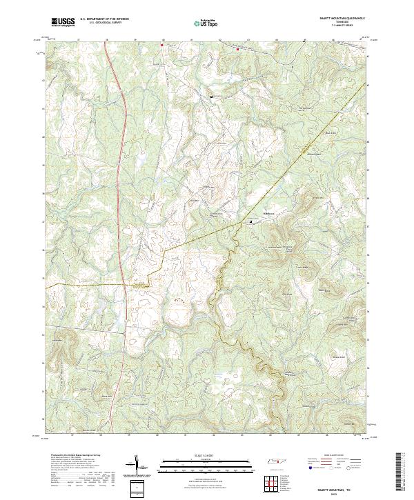
2022 Map of Smartt Mountain
USGS Topo · Published 2022About this map
The Cumberland Plateau landscape in this portion of Tennessee is defined by the Tennessee Valley Divide, where the waters of the Rocky River and Piney Cr diverge across a series of high ridges. The area is characterized by scattered family settlements and cemeteries that sit atop the high ground of Smartt Mtn and Hitchcox Mtn. This rural network is anchored by small communities like Hitchcox and historical burial sites including Hitchcox Cem and Walling Cem.
Find a feature on this map
100 named features on this map. Tap any name to fly to it.
Don’t see what you’re looking for? This feature index may not catch every label — zoom into the map to look around manually.
Map Details
Editions of this 2022 Smartt Mountain Map
This is the sole edition of this map. No revisions or reprints were ever made.
Other maps of this area

1888 · Chattanooga
USGS Topo · 1:125,000

1892 · Pikeville
USGS Topo · 1:125,000

1893 · Mc Minnville
USGS Topo · 1:125,000

1893 · Chattanooga
USGS Topo · 1:125,000

1895 · Mc Minnville
USGS Topo · 1:125,000

1895 · Sewanee
USGS Topo · 1:125,000

1895 · Pikeville
USGS Topo · 1:125,000

1935 · Brockdell
USGS Topo · 1:24,000

1935 · Mount Airy
USGS Topo · 1:24,000

1935 · Smart Mountain
USGS Topo · 1:24,000