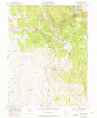
1951 Map of Smartville
USGS Topo · Published 1976About this map
Gold Rush legacy and mid-century military expansion define this landscape along the Yuba River. The historic settlement of Smartville serves as a central hub, surrounded by a series of gravel flats and mining remnants including Sucker Flat, Sicard Flat, and the Blue Point Mine. The map documents the transition from early extraction at the Timbuctoo (Site) to the modern utility of Englebright Lake, where a Powerhouse and Gaging Station monitor the river's flow near The Narrows.
Find a feature on this map
55 named features on this map. Tap any name to fly to it.
Don’t see what you’re looking for? This feature index may not catch every label — zoom into the map to look around manually.
Map Details
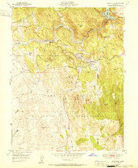
Editions of this 1951 Smartville Map
2 editions found
Other maps of this area

1888 · Smartsville
USGS Topo · 1:125,000

1891 · Smartsville
USGS Topo · 1:125,000

1892 · Smartsville
USGS Topo · 1:125,000

1894 · Smartsville
USGS Topo · 1:125,000

1895 · Smartsville
USGS Topo · 1:125,000

1910 · Wheatland
USGS Topo · 1:31,680

1911 · Browns Valley
USGS Topo · 1:31,680
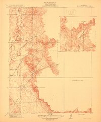
1912 · Prairie Creek
USGS Topo · 1:31,680

1915 · Spenceville
USGS Topo · 1:31,680

1941 · Bangor
USGS Topo · 1:62,500