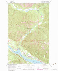
1966 Map of Smeads Bench
USGS Topo · Published 1984About this map
Kaniksu National Forest defines this corner of Sanders County, where the valley of the Bull River meets the wide waters of the Cabinet Gorge Reservoir. The landscape is dominated by steep mountain terrain, including the heights of Government Mountain and the distinct formation of Pillick Ridge. In the valley floor, the Burlington Northern railroad follows the shoreline of the Clark Fork, passing through infrastructure like Noxon Siding and a local station.
Find a feature on this map
33 named features on this map. Tap any name to fly to it.
Don’t see what you’re looking for? This feature index may not catch every label — zoom into the map to look around manually.
Map Details
Editions of this 1966 Smeads Bench Map
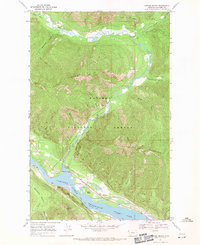
2 editions found
Other maps of this area

1920 · Libby
USGS Topo · 1:125,000

1930 · Libby
USGS Topo · 1:125,000

1932 · Libby
USGS Topo · 1:125,000

1932 · Trout Creek
USGS Topo · 1:125,000

1935 · Trout Creek
USGS Topo · 1:125,000

1936 · Trout Creek
USGS Topo · 1:125,000

1956 · Wallace
USGS Topo · 1:250,000

1957 · Kalispell
USGS Topo · 1:250,000

1960 · Kalispell
USGS Topo · 1:250,000

1960 · Wallace
USGS Topo · 1:250,000