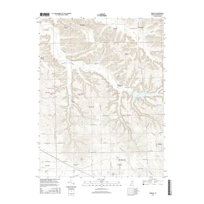
2016 Map of Smedley
USGS Topo · Published 2016About this map
Smedley and Haleysbury anchor this Washington County landscape, where the karst topography of the Mitchell Plain meets a complex network of ridges and river valleys. The Lost River and its N Fork Lost River wind through the southern portion of the map, while the CSX railroad corridor parallels the water through the settlement of Hitchcock. This late-era survey documents the persistent rural character of the region, defined by long ridges like Fleener Ridge and Walnut Ridge that dictate the winding paths of local routes such as W Walnut Ridge Rd and Prowsville Ridge Rd. Genealogists will find significant local history in the cluster of small burial grounds, including the Old Smedley Cem and Covenanter Cem, which serve as markers of the families who settled these upland flats and hollows.
Find a feature on this map
80 named features on this map. Tap any name to fly to it.
Don’t see what you’re looking for? This feature index may not catch every label — zoom into the map to look around manually.
Map Details
Editions of this 2016 Smedley Map
This is the sole edition of this map. No revisions or reprints were ever made.
Other maps of this area

1934 · Bedford
USGS Topo · 1:48,000

1937 · Bedford
USGS Topo · 1:62,500

1950 · Salem
USGS Topo · 1:24,000

1950 · Becks Mill
USGS Topo · 1:24,000

1951 · Smedley
USGS Topo · 1:24,000

1953 · Kossuth
USGS Topo · 1:24,000

1956 · Vincennes
USGS Topo · 1:250,000

1957 · Vincennes
USGS Topo · 1:250,000

1957 · Campbellsburg
USGS Topo · 1:24,000

1957 · Livonia
USGS Topo · 1:24,000