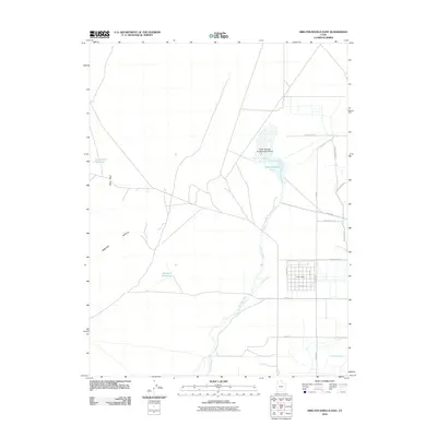
2010 Map of Smelter Knolls East
USGS Topo · Published 2010About this map
Topaz Camp sits within a rigid grid of roads in the arid Sevier Desert, a significant landmark in the eastern Smelter Knolls region. This survey, based on 2009 imagery, documents a landscape shaped by water management and conservation, notably the Topaz Slough Conservation Area and the winding course of the Old River Bed. The terrain is characterized by geological features like Hogs Back and the isolated peaks of the knolls, contrasted against the irrigation infrastructure of the Abraham Canal and Abraham Reservoir. The map provides a precise layout of the rural road network, including N 10000 W and W 4500 North St, which connect these remote desert sites to the broader county infrastructure.
Find a feature on this map
21 named features on this map. Tap any name to fly to it.
Don’t see what you’re looking for? This feature index may not catch every label — zoom into the map to look around manually.
Map Details
Editions of this 2010 Smelter Knolls East Map
This is the sole edition of this map. No revisions or reprints were ever made.
Other maps of this area

1885 · Sevier Desert
USGS Topo · 1:250,000

1953 · Delta
USGS Topo · 1:250,000

1958 · Delta
USGS Topo · 1:250,000

1962 · Delta
USGS Topo · 1:250,000

1962 · Delta
USGS Topo · 1:62,500

1971 · Smelter Knolls East
USGS Topo · 1:24,000

1971 · Baker Hot Springs
USGS Topo · 1:24,000

1971 · Clay Knoll
USGS Topo · 1:24,000

1971 · Drum Mts Well
USGS Topo · 1:24,000

1971 · Fumarole Butte
USGS Topo · 1:24,000