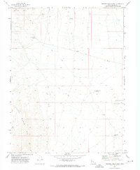
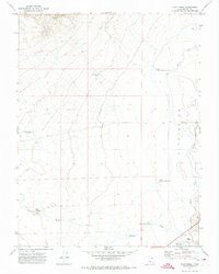
1971 Map of Smelter Knolls West
USGS Topo · Published 1974About this map
Drum Mts and the Little Drum Mts dominate this arid portion of Millard County, defining a landscape shaped by mineral interests and water management in the early 1970s. The presence of the Old Smelter Well and a isolated Prospect in the northern heights points to the region's mining history, while the network of Jeep Trails indicates the remote nature of the terrain. Water sources are scarce and localized, represented by the Greener Reservoir, Smelter Knolls Reservoir, and the Little Drum Well with its associated Water Tank. To the east, the volcanic forms of the Smelter Knolls rise above the basin floor, leading down to a large natural Depression in the southeast corner. This survey documents the intersection of geology and 20th-century resource extraction in the West Desert.
Find a feature on this map
13 named features on this map. Tap any name to fly to it.
Don’t see what you’re looking for? This feature index may not catch every label — zoom into the map to look around manually.
Map Details
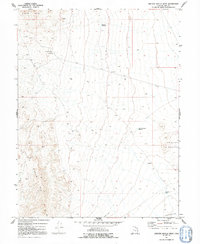
Editions of this 1971 Smelter Knolls West Map
2 editions found
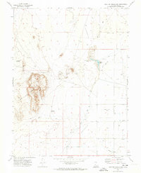
Other maps of this area

1885 · Sevier Desert
USGS Topo · 1:250,000

1908 · Fish Springs
USGS Topo · 1:250,000

1910 · Fish Springs
USGS Topo · 1:250,000
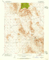
1953 · Topaz Mtn
USGS Topo · 1:62,500

1953 · Delta
USGS Topo · 1:250,000

1958 · Delta
USGS Topo · 1:250,000

1962 · Delta
USGS Topo · 1:250,000
1971 · Smelter Knolls East
USGS Topo · 1:24,000
1971 · Clay Knoll
USGS Topo · 1:24,000
1971 · Drum Mts Well
USGS Topo · 1:24,000