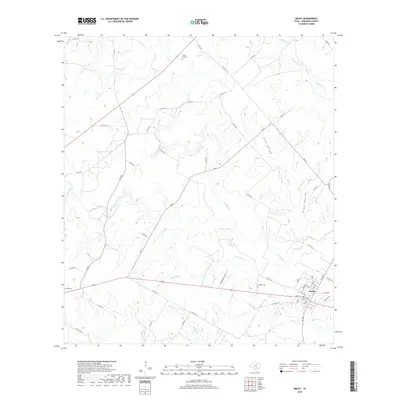
2019 Map of Smiley
USGS Topo · Published 2019About this map
Smiley serves as the primary hub of this south Texas landscape, where a dense network of residential streets like Wheat, Finch, and Carpenter cluster near the intersection of several farm-to-market roads. The town's layout reflects a legacy of small-scale settlement, supported by a system of rural routes that fan out into the surrounding ranchland. Waterways define the local topography, with Sandies Cr and Little Elm Cr cutting through the terrain towards Patterson Lake.
Find a feature on this map
61 named features on this map. Tap any name to fly to it.
Don’t see what you’re looking for? This feature index may not catch every label — zoom into the map to look around manually.
Map Details
Editions of this 2019 Smiley Map
This is the sole edition of this map. No revisions or reprints were ever made.
Other maps of this area

1920 · Smiley
USGS Topo · 1:125,000

1942 · Dewville
USGS Topo · 1:62,500

1953 · Seguin
USGS Topo · 1:250,000

1956 · Dewville
USGS Topo · 1:62,500

1958 · Seguin
USGS Topo · 1:250,000

1959 · Cost
USGS Topo · 1:24,000

1961 · Sample
USGS Topo · 1:24,000

1961 · Nixon
USGS Topo · 1:24,000
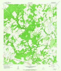
1961 · Pilgrim
USGS Topo · 1:24,000

1961 · Gillett
USGS Topo · 1:24,000