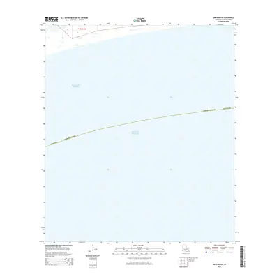
2015 Map of Smith Bayou
USGS Topo · Published 2015About this map
Gulf of Mexico waters dominate this coastal survey of the Louisiana shoreline. The map focuses on a transitional marine environment where the southern reaches of Cameron Parish meet the open sea. Inland features are sparse, characterized primarily by Smith Bayou as it cuts through the marshy terrain in the northwestern corner of the quadrangle. The survey provides a clear view of the Public Land Survey System grid, specifically identifying Township 15 South, Range 14 West and sections 15 and 16. This perspective is particularly valuable for coastal researchers and environmental historians tracking the shifting interface between the Louisiana wetlands and the gulf during the early twenty-first century.
Find a feature on this map
7 named features on this map. Tap any name to fly to it.
Don’t see what you’re looking for? This feature index may not catch every label — zoom into the map to look around manually.
Map Details
Editions of this 2015 Smith Bayou Map
This is the sole edition of this map. No revisions or reprints were ever made.
Other maps of this area

1932 · Sabine Pass NE
USGS Topo · 1:31,680

1934 · Johnsons Bayou
USGS Topo · 1:24,000

1934 · Peveto Beach
USGS Topo · 1:24,000

1935 · Peveto Beach
USGS Topo · 1:31,680

1935 · Johnsons Bayou
USGS Topo · 1:31,680

1943 · West of Johnson Bayou
USGS Topo · 1:24,000

1944 · Texas Point
USGS Topo · 1:31,680
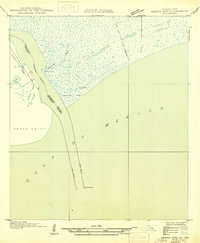
1946 · Sabine Pass NE
USGS Topo · 1:31,680
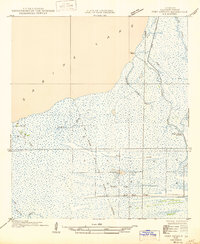
1946 · Port Arthur SE
USGS Topo · 1:31,680

1954 · Port Arthur
USGS Topo · 1:250,000