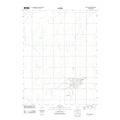
2012 Map of Smith Center
USGS Topo · Published 2012About this map
Smith Center serves as the focal point of this North Central Kansas landscape, where the town's grid is anchored by thoroughfares like W Kansas Ave and S Lincoln St. The surrounding plains are defined by an intricate network of drainage, primarily the winding courses of Middle Beaver Creek and Troublesome Creek. To the north of the main settlement lies Fairview Cem, a key site for local genealogical research, while the Smith Center Municipal Airport occupies the southwestern edge of the town limits. Modern commemorative naming is evident in the inclusion of Roger Barta Way, reflecting contemporary local history. The topography is further shaped by numerous tributaries such as E Br Troublesome Creek and Bull Creek, which dictate the rural road patterns and agricultural boundaries across the county.
Find a feature on this map
33 named features on this map. Tap any name to fly to it.
Don’t see what you’re looking for? This feature index may not catch every label — zoom into the map to look around manually.
Map Details
Editions of this 2012 Smith Center Map
This is the sole edition of this map. No revisions or reprints were ever made.
Other maps of this area

1893 · Smith Center
USGS Topo · 1:125,000

1955 · Beloit
USGS Topo · 1:250,000

1959 · Beloit
USGS Topo · 1:250,000

1973 · Athol
USGS Topo · 1:24,000
1973 · Cora
USGS Topo · 1:24,000
1973 · Reamsville
USGS Topo · 1:24,000
1973 · Cedar
USGS Topo · 1:24,000
1973 · Bachelors Run
USGS Topo · 1:24,000
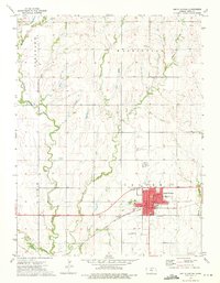
1973 · Smith Center
USGS Topo · 1:24,000
1973 · Portis NW
USGS Topo · 1:24,000