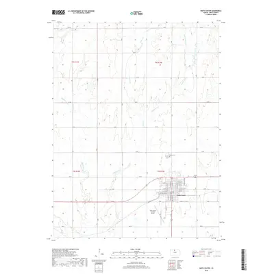
2018 Map of Smith Center
USGS Topo · Published 2018About this map
Smith Center serves as the hub of this Smith County landscape, its grid defined by thoroughfares like W Kansas Ave and N Main St. The town is the central settlement point in a region characterized by a dense network of watercourses, including the various branches of Troublesome Creek and E Beaver Creek. To the north of the town center, Fairview Cemetery provides a point of local genealogical interest, while the Smith Center Municipal Airport sits just south of the main residential area. The surrounding land is partitioned into systematic sections, with rural transit relying on an organized system of numbered roads such as 160 Rd and 170 Rd. This modern survey illustrates the persistent importance of natural drainage features like Middle Beaver Creek and Spring Creek in shaping the development and transit corridors of the Kansas plains.
Find a feature on this map
43 named features on this map. Tap any name to fly to it.
Don’t see what you’re looking for? This feature index may not catch every label — zoom into the map to look around manually.
Map Details
Editions of this 2018 Smith Center Map
This is the sole edition of this map. No revisions or reprints were ever made.
Other maps of this area

1893 · Smith Center
USGS Topo · 1:125,000

1955 · Beloit
USGS Topo · 1:250,000

1959 · Beloit
USGS Topo · 1:250,000

1973 · Athol
USGS Topo · 1:24,000
1973 · Cora
USGS Topo · 1:24,000
1973 · Reamsville
USGS Topo · 1:24,000
1973 · Cedar
USGS Topo · 1:24,000
1973 · Bachelors Run
USGS Topo · 1:24,000
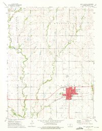
1973 · Smith Center
USGS Topo · 1:24,000
1973 · Portis NW
USGS Topo · 1:24,000