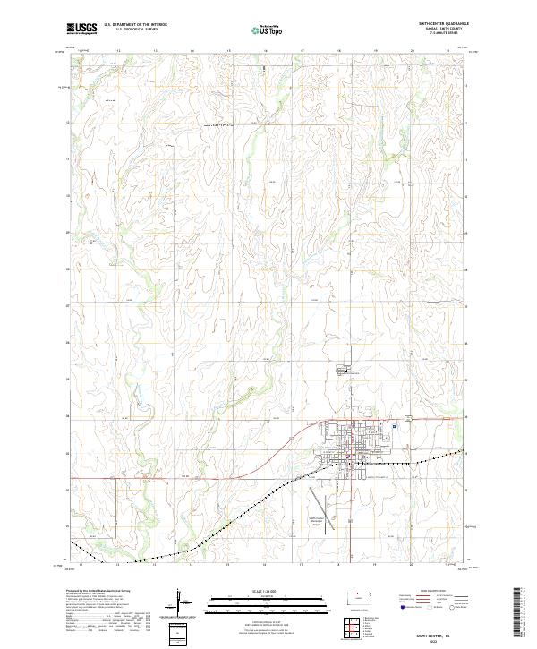
2022 Map of Smith Center
USGS Topo · Published 2022About this map
Smith Center serves as the hub for this agricultural landscape, defined by the grid of section-line roads and the winding paths of several creeks. The town itself is centered on the Smith County Courthouse, with streets such as W Kansas Ave and E South City Limits St forming the urban core. To the north lies Fairview Cem, while the Smith Center Municipal Airport occupies the southern reaches of the township. The surrounding terrain is heavily influenced by the drainage networks of E Beaver Cr, Middle Beaver Cr, and Troublesome Cr. These waterways create a branching natural pattern that contrasts with the rigid township and range lines like t2s r13w. This modern survey documents the persistent rural character of the region, where infrastructure like the 170 Rd corridor facilitates transport between the central town and the outlying farmsteads.
Find a feature on this map
32 named features on this map. Tap any name to fly to it.
Don’t see what you’re looking for? This feature index may not catch every label — zoom into the map to look around manually.
Map Details
Editions of this 2022 Smith Center Map
This is the sole edition of this map. No revisions or reprints were ever made.
Other maps of this area

1893 · Smith Center
USGS Topo · 1:125,000

1955 · Beloit
USGS Topo · 1:250,000

1959 · Beloit
USGS Topo · 1:250,000

1973 · Athol
USGS Topo · 1:24,000
1973 · Cora
USGS Topo · 1:24,000
1973 · Reamsville
USGS Topo · 1:24,000
1973 · Cedar
USGS Topo · 1:24,000
1973 · Bachelors Run
USGS Topo · 1:24,000
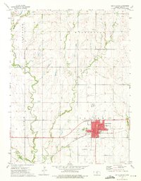
1973 · Smith Center
USGS Topo · 1:24,000
1973 · Portis NW
USGS Topo · 1:24,000